"After months of rain and snow, last Wednesday spring seemed to have finally come to Nevada County.
The air smelled sweet, daffodils bloomed on the highway embankments, and out the third-floor window of the old county courthouse a flock of cedar waxwings cavorted over the rooftops along Main Street. People felt like going outside. I met a neighbor coming back from walking her dog — as has been the practice here for generations — on one of the Nevada Irrigation District ditch trails.
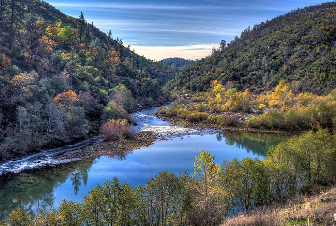
"The two crown jewels of recreation in Nevada County are the South Yuba River, and the ditch trails," Nevada City Attorney John Bilheimer said at the courthouse.
Bilheimer, a poker-faced, athletic man in his 50s with a shock of wiry, salt-and-pepper hair, was there on behalf of his clients, a neighborhood association calling themselves the Friends of Banner Mountain. Friends had filed suit against a Banner Mountain landowner who installed two locked gates blocking public access to a portion of the Lower Cascade Canal trail where it meets Gracie Road. The exhibits for trial sat stacked against the jury box, witnesses were on standby, and Bilheimer, co-counsel Jim Simon, of Truckee, and the attorney for the landowners, Craig Diamond, made a last-ditch attempt to settle the case and avoid an expensive nine-day trial.
It was a scene worthy of Norman Rockwell. In spite of frayed nerves, financial worries, and months of unsuccessful haggling, the Friends of Banner Mountain; the landowners who blocked the trail, Jonathan and Jacy Davis; and their respective supporters sat politely without dagger-eyes, and courteously stepped aside as they passed each other in the narrow hall outside the courtroom. Bilheimer, Simon and Diamond conferred with gentlemanly friendliness. There were no good guys or bad guys, just decent people on either side of a deepening cleft in American life between those who assert and protect the public domain and those who would make it private.
It is a rift extending from our little towns and their trails to the oceans, atmosphere, and even your genes — which, until a landmark case in the U.S. Supreme Court a few years ago, had become the object of a veritable Oklahoma Land Rush as biotech companies attempted to privatize chunks of the genetic code that make you you, in anticipation of huge profits from selling them back to you as lab tests or medicines.
Nevada County's beloved ditches and their trails were built during and after the Gold Rush. Separation of gold from stone took water, and after 1852, hydraulic mining took even more. By 1860, the year the Lower Cascade Canal was built, California agriculture was bigger than gold, and the ditches supplied irrigation. By the 1890s they generated electrical power. After World War II, as ranches and timberland were split into housing developments, ditches also supplied water to low-density suburbs like Banner Mountain.
On the downslope side of each ditch, the berm of soil excavated from the trench that carries the water was leveled to form a trail still used today by Nevada Irrigation District ditch-tenders on foot. There was no intent to create recreational trails, so today NID's easement allows the agency to convey water but not dog-walkers and trail runners. But the broad, nearly level trails form an intimate, green path through quiet neighborhoods, away from the hazard of being hit by a car while walking or biking a narrow mountain road. There are breathtaking views, and always the sound of clear, rippling water. From the time they were built, the ditch-tender's trails were an efficient way to walk from one place to another. And under California law if a diverse group of people used a throughway across private land without having to ask permission for more than five years before 1972, an easement is formed for public use. That case law, and the 27 middle-aged and elderly witnesses Bilheimer and Simon were prepared to put on the stand to attest to the trail's long use, were the substance of Friends' case.
On the second day, 29 hours after arriving at court, the two sides reached agreement for a stipulated judgment. The Davises would take down one of the gates and leave the one along Gracie Road unlocked with a sign proclaiming public access. It was the third time since the late 1990s Bilheimer had defended the public's right to pass on the ditch trails. He said he was tired and walked back to his office.
But really, something more is needed. As it happens, the Recreation Planning Division of the Nevada County Planning Department is studying consolidation of western Nevada County's three existing park and recreation districts and other recreation opportunities in unincorporated areas of the west county through a Sacramento consultant, Economic & Planning Systems. The NID ditch trails are already on the county's Western Nevada County Non-motorized Recreational Trails Master Plan Map. And for over a century, thanks to California law and the overwhelming majority of landowners along them, the ditch trails have provided a safe and beautiful place to walk. However recent attempts to block them are a warning not to take them for granted.
Please make your wishes for their future known in writing to your member of the Nevada County Board of Supervisors.** To see which supervisor district you're in (and other cool information about your neighborhood) see https://gis.nevcounty.net/MyNeighborhood/.
And for those of you who use and love the trails, the Friends of Banner Mountain incurred tens of thousands of dollars in legal fees defending them. They invite you to contribute to their GoFundMe at https://www.gofundme.com/save-the-cascade-canal.
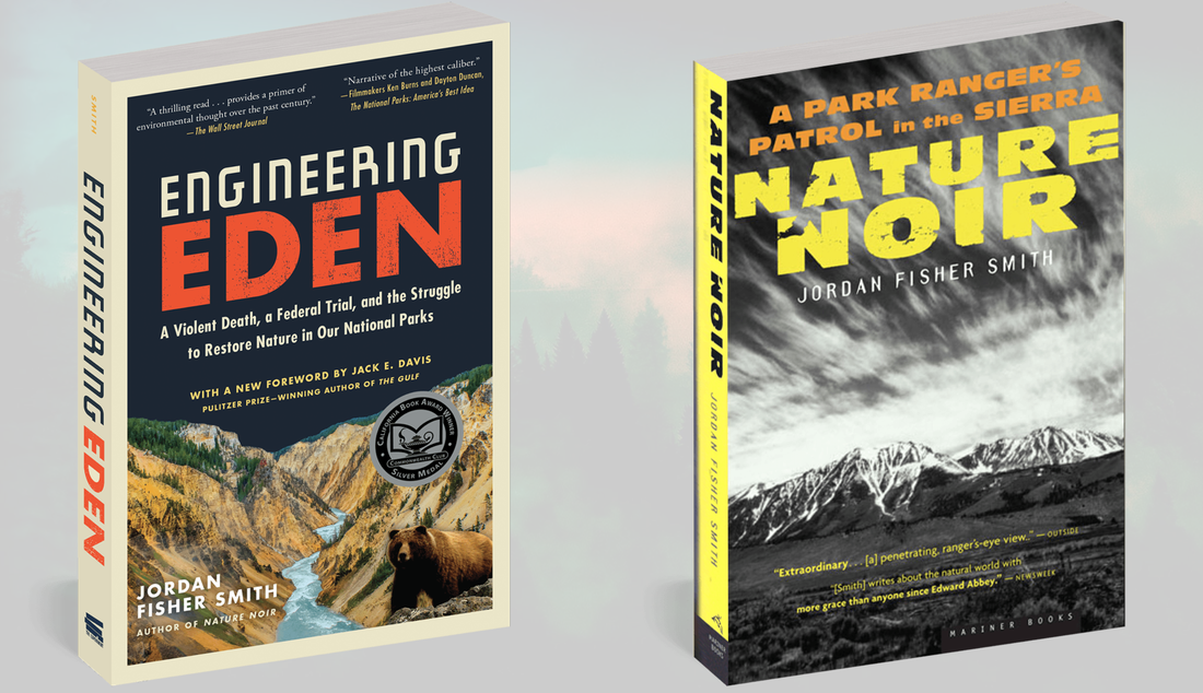
*Jordan Fisher Smith is the author of the many award winning book, "Nature Noir" and his newest book, "Engineering Eden" was published last Tuesday in a paperback edition with a new foreword by Jack E. Davis, winner of a 2018 Pulitzer Prize.
CLICK HERE to see the original article in The Union newspaper.
======================================
**P.S from MLT: You may also mention to your Supervisor that you would certainly like them to get going opening the six miles of legal public Emigrant Trail easements in south county, the ONLY county-owned public trail. The Supes said they wanted this trail open THREE years ago and it still isn't open... www.EmigrantTrailConservancy.org
The air smelled sweet, daffodils bloomed on the highway embankments, and out the third-floor window of the old county courthouse a flock of cedar waxwings cavorted over the rooftops along Main Street. People felt like going outside. I met a neighbor coming back from walking her dog — as has been the practice here for generations — on one of the Nevada Irrigation District ditch trails.
"The two crown jewels of recreation in Nevada County are the South Yuba River, and the ditch trails," Nevada City Attorney John Bilheimer said at the courthouse.
Bilheimer, a poker-faced, athletic man in his 50s with a shock of wiry, salt-and-pepper hair, was there on behalf of his clients, a neighborhood association calling themselves the Friends of Banner Mountain. Friends had filed suit against a Banner Mountain landowner who installed two locked gates blocking public access to a portion of the Lower Cascade Canal trail where it meets Gracie Road. The exhibits for trial sat stacked against the jury box, witnesses were on standby, and Bilheimer, co-counsel Jim Simon, of Truckee, and the attorney for the landowners, Craig Diamond, made a last-ditch attempt to settle the case and avoid an expensive nine-day trial.
It was a scene worthy of Norman Rockwell. In spite of frayed nerves, financial worries, and months of unsuccessful haggling, the Friends of Banner Mountain; the landowners who blocked the trail, Jonathan and Jacy Davis; and their respective supporters sat politely without dagger-eyes, and courteously stepped aside as they passed each other in the narrow hall outside the courtroom. Bilheimer, Simon and Diamond conferred with gentlemanly friendliness. There were no good guys or bad guys, just decent people on either side of a deepening cleft in American life between those who assert and protect the public domain and those who would make it private.
It is a rift extending from our little towns and their trails to the oceans, atmosphere, and even your genes — which, until a landmark case in the U.S. Supreme Court a few years ago, had become the object of a veritable Oklahoma Land Rush as biotech companies attempted to privatize chunks of the genetic code that make you you, in anticipation of huge profits from selling them back to you as lab tests or medicines.
Nevada County's beloved ditches and their trails were built during and after the Gold Rush. Separation of gold from stone took water, and after 1852, hydraulic mining took even more. By 1860, the year the Lower Cascade Canal was built, California agriculture was bigger than gold, and the ditches supplied irrigation. By the 1890s they generated electrical power. After World War II, as ranches and timberland were split into housing developments, ditches also supplied water to low-density suburbs like Banner Mountain.
On the downslope side of each ditch, the berm of soil excavated from the trench that carries the water was leveled to form a trail still used today by Nevada Irrigation District ditch-tenders on foot. There was no intent to create recreational trails, so today NID's easement allows the agency to convey water but not dog-walkers and trail runners. But the broad, nearly level trails form an intimate, green path through quiet neighborhoods, away from the hazard of being hit by a car while walking or biking a narrow mountain road. There are breathtaking views, and always the sound of clear, rippling water. From the time they were built, the ditch-tender's trails were an efficient way to walk from one place to another. And under California law if a diverse group of people used a throughway across private land without having to ask permission for more than five years before 1972, an easement is formed for public use. That case law, and the 27 middle-aged and elderly witnesses Bilheimer and Simon were prepared to put on the stand to attest to the trail's long use, were the substance of Friends' case.
On the second day, 29 hours after arriving at court, the two sides reached agreement for a stipulated judgment. The Davises would take down one of the gates and leave the one along Gracie Road unlocked with a sign proclaiming public access. It was the third time since the late 1990s Bilheimer had defended the public's right to pass on the ditch trails. He said he was tired and walked back to his office.
But really, something more is needed. As it happens, the Recreation Planning Division of the Nevada County Planning Department is studying consolidation of western Nevada County's three existing park and recreation districts and other recreation opportunities in unincorporated areas of the west county through a Sacramento consultant, Economic & Planning Systems. The NID ditch trails are already on the county's Western Nevada County Non-motorized Recreational Trails Master Plan Map. And for over a century, thanks to California law and the overwhelming majority of landowners along them, the ditch trails have provided a safe and beautiful place to walk. However recent attempts to block them are a warning not to take them for granted.
Please make your wishes for their future known in writing to your member of the Nevada County Board of Supervisors.** To see which supervisor district you're in (and other cool information about your neighborhood) see https://gis.nevcounty.net/MyNeighborhood/.
And for those of you who use and love the trails, the Friends of Banner Mountain incurred tens of thousands of dollars in legal fees defending them. They invite you to contribute to their GoFundMe at https://www.gofundme.com/save-the-cascade-canal.
*Jordan Fisher Smith is the author of the many award winning book, "Nature Noir" and his newest book, "Engineering Eden" was published last Tuesday in a paperback edition with a new foreword by Jack E. Davis, winner of a 2018 Pulitzer Prize.
CLICK HERE to see the original article in The Union newspaper.
======================================
**P.S from MLT: You may also mention to your Supervisor that you would certainly like them to get going opening the six miles of legal public Emigrant Trail easements in south county, the ONLY county-owned public trail. The Supes said they wanted this trail open THREE years ago and it still isn't open... www.EmigrantTrailConservancy.org
 RSS Feed