From the Mt. Democrat Newspaper, by Mary West:
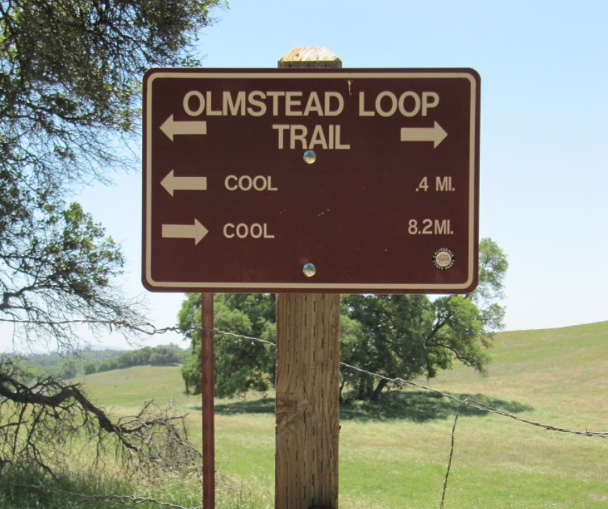
"The Olmstead Loop Trail, in the Cool area of the Auburn State Recreation Area (ASRA), is an 8.6-mile stroll through some wide-open spaces. The 8.6 miles may seem like a lot but have no fear, every time I venture out this way, a new trail cutoff has been worn into the fields. Some are more pronounced than others. If you do get lost, which is easy enough to do, ask an equestrian, cyclist or fellow hiker the way. I usually keep the radio towers to my south and Highway 49 to the east when hiking in this area.
Off Highway 49, park in the car lot not the horse trailer lot. Head out on the trail at the south end of the horse staging area. The Olmstead Loop Trail meanders parallel to Highway 49 South behind a few horse ranches before in cuts west and into the oak woodland that makes up much of the area. Ponds dot the area, some more seasonal than others. In the wet season, it’s best to hike here after things have dried out for a week or two. If you go after a rain, you will find puddles, some quite large, to get around. Frogs and newts are common underfoot, watch where you step. Follow the trail markers to Knickerbocker Creek. Creek crossing during spring runoff can make for wet shoes. The trail comes out onto a road. Cross the road and continue on Olmstead Loop. Or follow the road back to the parking lot, or take the trail that runs parallel to the road back to the horse staging area and parking lot near the Cool Fire Station.
Much shorter loops are in the area and provide meadows, ponds and wildflowers in spring. It is worth checking out any time of year. I am always reticent to send people on Olmstead Loop. The directions have never been very clear. Maps don’t seem to answer all the questions, especially if a mud puddle has given you cause to go off trail."
(From Mother Lode Trails: There is a comprehensive review of this trail with maps and pictures in our LINKS section. Scroll down to Auburn SRA - Omstead Loop Trail, Map and Review.)
"To get there, follow Highway 49 north until you enter Cool. Just after the stop sign look for the Cool Fire Station on your left. This is also the entrance into the Auburn State Recreation area parking area. There is a $10-day use fee."
Mary West is author of the book series “Day Hiker – Gold Country Trail Guide.” The books are a collection of Day Hiker columns where West shares her longtime love of the outdoors, and favorite hikes in Northern California’s Gold Country and beyond. You can follow West on Facebook and Instagram.
 RSS Feed