--by Mary West
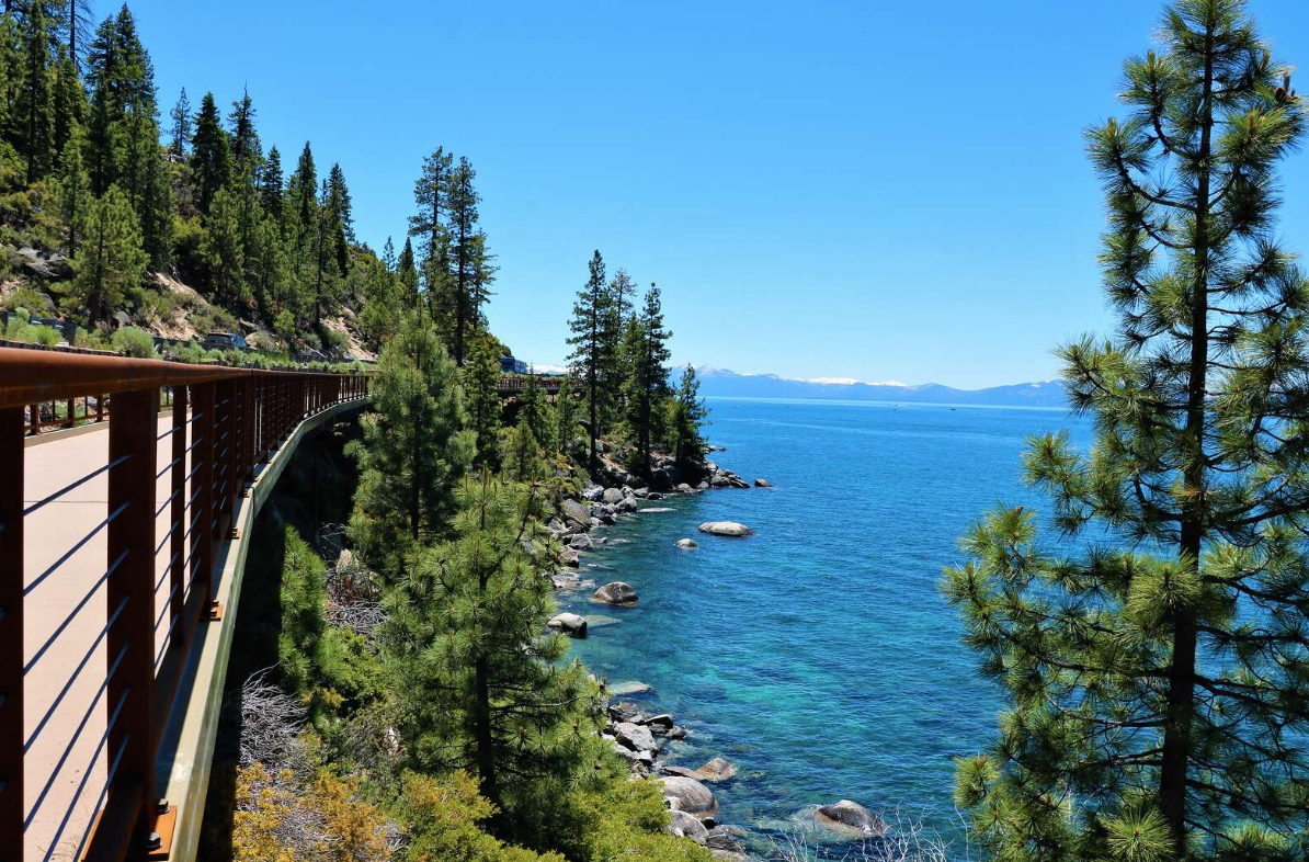
Glacier Meadow Loop Trail on the Pacific Crest Trail in Donner, California, is an easy half-mile loop at 7,200 feet elevation.
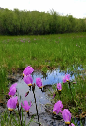
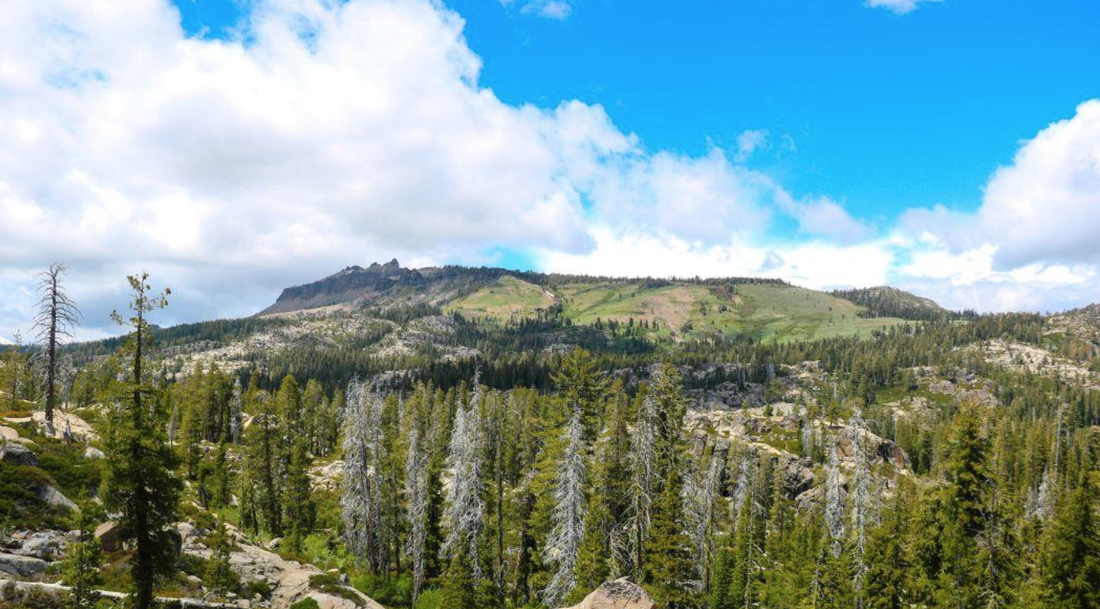
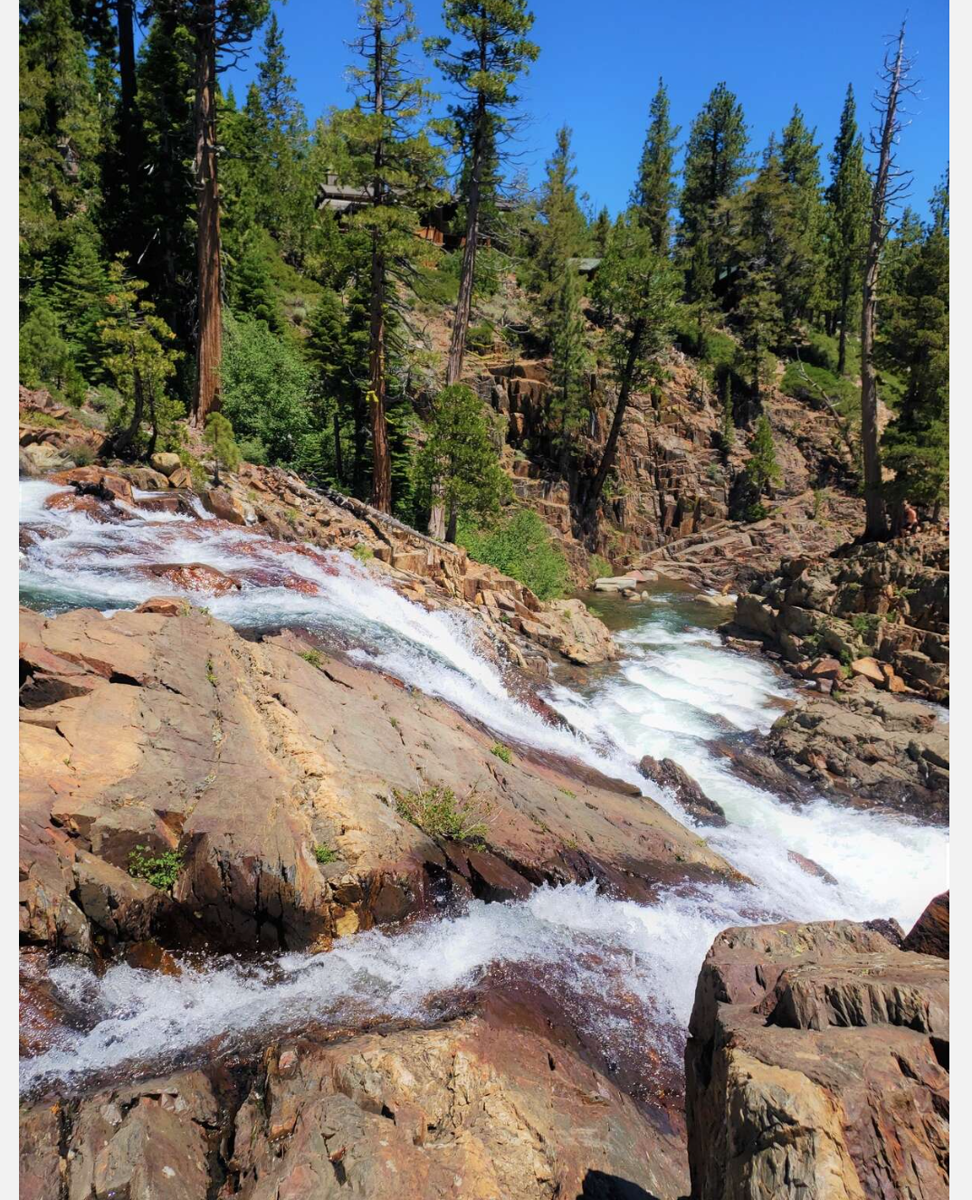
This trail is so much more as it connects to the Pacific Crest Trail from Mexico to Canada and many other trails in the area. The rock formations and views of the surrounding peaks make this a great trail any time of year. In spring it is home to abundant wildflowers, ferns, grasses and, of course, a forest of trees.
My sons love this hike because there is so much to explore. Ponds and lakes, boulders, downed trees and a mostly flat area to wander. I enjoy the meadows, often wet with melted snow. The seasonal grasses and wildflowers are great for someone like me who can’t take enough pictures.
Glacier Meadow Loop trail is a great area for a picnic lunch atop a boulder with views of Castle Peak. The trail is a popular sledding and snowshoe area in winter. During winter you do need a parking pass, as it is very popular. But in summer there is free parking just past Boreal Ski Resort off the Castle Peak exit of Eastbound interstate 80. Take the exit and continue east along the frontage road to the parking area. Bathrooms and trail maps are located here as well.
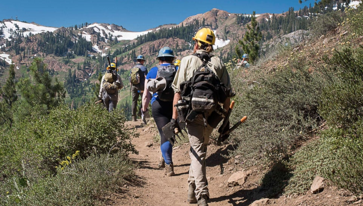
This is a very popular hiking trail year around. Dogs are welcome on a leash. The tall pines provide much shade on the trail. Over the years we have used this spot as the starting point for many hikes. Glacier Meadow Loop trail is a great starter trail for someone new to alpine hiking or maybe for your out-of-town family and friends visiting this summer. An even better excuse to hike this trail, if you need one, is getting up the hill usually means cooler temperatures. (Photo credits: Mary West)
Mary West is author of the book series Day Hiker - Gold Country Trail Guide I, II and III (2nd edition Available on Amazon). The books are a collection of the Day Hiker columns where West shares her longtime love of the outdoors, favorite hikes in Northern California’s Gold Country and beyond. West was the recipient of the 2017 and 2019 CRAFT Award for Best Outdoor Column and the 2020 Craft Award for her second book in the series-Day Hiker Gold Country Trail Guide by the Outdoor Writers of California. You can follow West on Facebook and Instagram.
To see this article in its original form, visit Gold Country Media here:
https://goldcountrymedia.com/news/295659/day-hiker-glacier-meadow-loop/
Glacier Meadow Loop Trail on the Pacific Crest Trail in Donner, California, is an easy half-mile loop at 7,200 feet elevation.
This trail is so much more as it connects to the Pacific Crest Trail from Mexico to Canada and many other trails in the area. The rock formations and views of the surrounding peaks make this a great trail any time of year. In spring it is home to abundant wildflowers, ferns, grasses and, of course, a forest of trees.
My sons love this hike because there is so much to explore. Ponds and lakes, boulders, downed trees and a mostly flat area to wander. I enjoy the meadows, often wet with melted snow. The seasonal grasses and wildflowers are great for someone like me who can’t take enough pictures.
Glacier Meadow Loop trail is a great area for a picnic lunch atop a boulder with views of Castle Peak. The trail is a popular sledding and snowshoe area in winter. During winter you do need a parking pass, as it is very popular. But in summer there is free parking just past Boreal Ski Resort off the Castle Peak exit of Eastbound interstate 80. Take the exit and continue east along the frontage road to the parking area. Bathrooms and trail maps are located here as well.
This is a very popular hiking trail year around. Dogs are welcome on a leash. The tall pines provide much shade on the trail. Over the years we have used this spot as the starting point for many hikes. Glacier Meadow Loop trail is a great starter trail for someone new to alpine hiking or maybe for your out-of-town family and friends visiting this summer. An even better excuse to hike this trail, if you need one, is getting up the hill usually means cooler temperatures. (Photo credits: Mary West)
Mary West is author of the book series Day Hiker - Gold Country Trail Guide I, II and III (2nd edition Available on Amazon). The books are a collection of the Day Hiker columns where West shares her longtime love of the outdoors, favorite hikes in Northern California’s Gold Country and beyond. West was the recipient of the 2017 and 2019 CRAFT Award for Best Outdoor Column and the 2020 Craft Award for her second book in the series-Day Hiker Gold Country Trail Guide by the Outdoor Writers of California. You can follow West on Facebook and Instagram.
To see this article in its original form, visit Gold Country Media here:
https://goldcountrymedia.com/news/295659/day-hiker-glacier-meadow-loop/

 RSS Feed