MOTHER LODE TRAILS
  • Home
  • About
  • Contact
  • Volunteer
  • Links
    • Law Enforcement Emergency
    • Federal, State, County Districts Parks & Trails
    • Running Clubs
    • Equestrian Clubs
    • Mt. Bike Clubs
    • Hiking Clubs
    • Trail Advocacy Organizations
    • Phone Numbers State & Federal Parks, Trails & Lands
    • Where to Eat on the Trails
  • News
  • Alerts

Nevada County Adopts BYLT’s Hirschman Pond Trail

11/26/2021

 
Picture
Nevada County recently entered into an “Adopt-a-Trail” agreement to support the eastern portion of the well-loved local Hirschman Pond Trail in Nevada City. Hirshman Trail is minutes from the Eric Rood Center and is a source of enjoyment for County staff almost every day. Employees frequently use the trail for walks and lunch breaks to relax and decompress while outdoors. County staff now have an opportunity to give back to the trail.
​
Over the next two years, County staff will volunteer in non-work-related stewardship, maintenance, and bi-monthly inspections for the Bear Yuba Land Trust (BYLT). Through BYLT’s program, staff volunteers will individually walk the trail to check for trash, vandalism, safety issues, and general upkeep. Teams from County departments will tackle larger projects such as erosion control, building a retaining wall, spreading gravel to maintain the trail's surface, brush maintenance, and trail route preservation.

Nevada County will be adopting the first mile of the trail on the eastern portion from the parking lot tail head to the Woods Ravine Section, as volunteers have already adopted the other trail portions. Learn more about BYLT’s Adopt-A-Trail Program at www.bylt.org.

About Hirschman Pond Trail
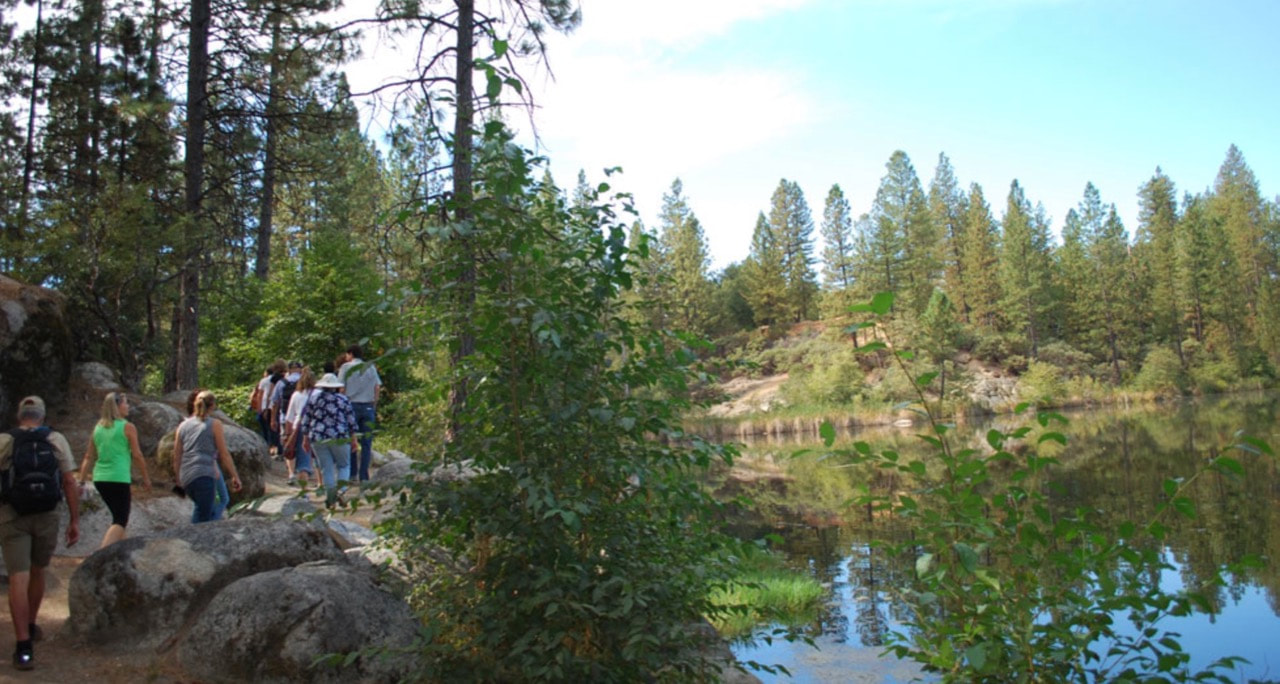
Only a mile from the heart of downtown Nevada City, this trail system, partially constructed by the Land Trust, gets you quickly out into nature with lots of different things to enjoy. The centerpiece is lovely Hirschman’s Pond. In 2021, Hirschman’s Pond was designated a Nevada County Historical Landmark to honor pioneer miner Leb Hirschman and the Jewish community that settled here during the Gold Rush.
​The eastern 0.4 miles of trail is constructed to ADA standards, providing barrier-free access to Hirschman’s Pond. Highlighting this section of trail is a 40-foot long trestle that was built to replicate the railroad and flume construction techniques of the late 1800s. West of the pond, the trail narrows and meanders through oak woodlands, pines, and grasslands for an additional 2 miles. Hirschman’s Pond is five acres of water from natural sources at the foot of tall cliffs carved by hydraulic mining of the area in the 1800s. Now people visit to enjoy the tranquil scenery, fish along the shore, and view wildlife, including ducks, geese, and herons on the pond. There is a nice bench on the south shore of the pond for taking in the view.

CLICK HERE to read the original press release from Nevada County.

Mary West: Exploring the Olmstead Loop Trail

11/25/2021

 
Picture
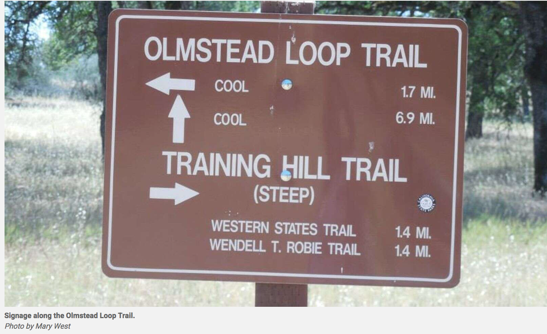
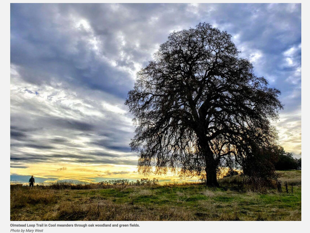
The Olmstead Loop Trail, in the Cool area of the Auburn State Recreation Area, is an 8.6-mile stroll through some wide-open spaces. Nearly nine miles may seem like a lot but have no fear. It seems like every time I venture out this way, a new trail cutoff has been worn into the fields. Some are more pronounced than others. If you do get lost — which is easy enough to do — ask an equestrian, cyclist or fellow hiker the way. I usually keep the radio towers to my south and Highway 49 to the east when hiking in this area.
​
I love this hike in late fall. It can be muddy but it’s not hot. You need to pick your battles. Off Highway 49 park in the car lot not the trailer lot. Head out on the trail at the south end of the horse staging area. The Olmstead Loop Trail meanders parallel to Highway 49 south behind a few horse ranches before it cuts west and into the oak woodland that makes up much of the area. Ponds dot the area, some more seasonal than others. In winter, it’s best to hike here after things have dried out for a week or two. If you go after a rain, you will find puddles, some quite large, to get around. Follow the trail markers to Knickerbocker Creek. Cross the road and continue on Olmstead or follow the road or the trail that runs parallel to the road back to the horse staging area and parking lot near the Cool Fire Station.

Extend the hike by crossing the road and you will find yourself crossing the Auburn to Cool Trail or Coffer Dam Trail and off to Salt Creek to Pointed Rocks Trail. Past the signs for the Wendell T Robie Trail (Twice), you get to the headwaters of Salt Creek before returning to the Cool Fire Station and the parking lot. Some elevation change down and up from Knickerbocker Creek leads to some more steep hill climbs and down slopes. The hill tops out with some nice views.

Much shorter loops are in the area and provide meadows, ponds and wildflowers in spring. It is worth checking out any time of year. I am always reluctant to send people on the Olmstead Loop. The directions have never been very clear. Maps don’t seem to answer all the questions, especially if a mud puddle has given you cause to go off trail.

To get there from Auburn take Interstate 80 to Highway 49 south toward Placerville. Drive into the canyon and cross the Highway 49 bridge from Placer to El Dorado County. Follow Highway 49 to enter the town of Cool. Just before the stop sign look for the Cool Fire Station on your right. This is also the entrance into the Auburn State Recreation area parking area. There is a $10-day use fee.

CLICK HERE to see the original article in The Union newspaper.

Mary West is author of the book series Day Hiker – Gold Country Trail Guide I, II and III (2nd edition Available on Amazon). The books are a collection of the Day Hiker columns where West shares her longtime love of the outdoors, favorite hikes in Northern California’s Gold Country and beyond. West was the recipient of the 2017 and 2019 CRAFT Award for Best Outdoor Column and the 2020 Craft Award for her second book in the series-Day Hiker Gold Country Trail Guide by the Outdoor Writers of California. You can follow West on Facebook and Instagram
Picture

Senate confirms first Native American to lead National Park Service

11/20/2021

 
Picture
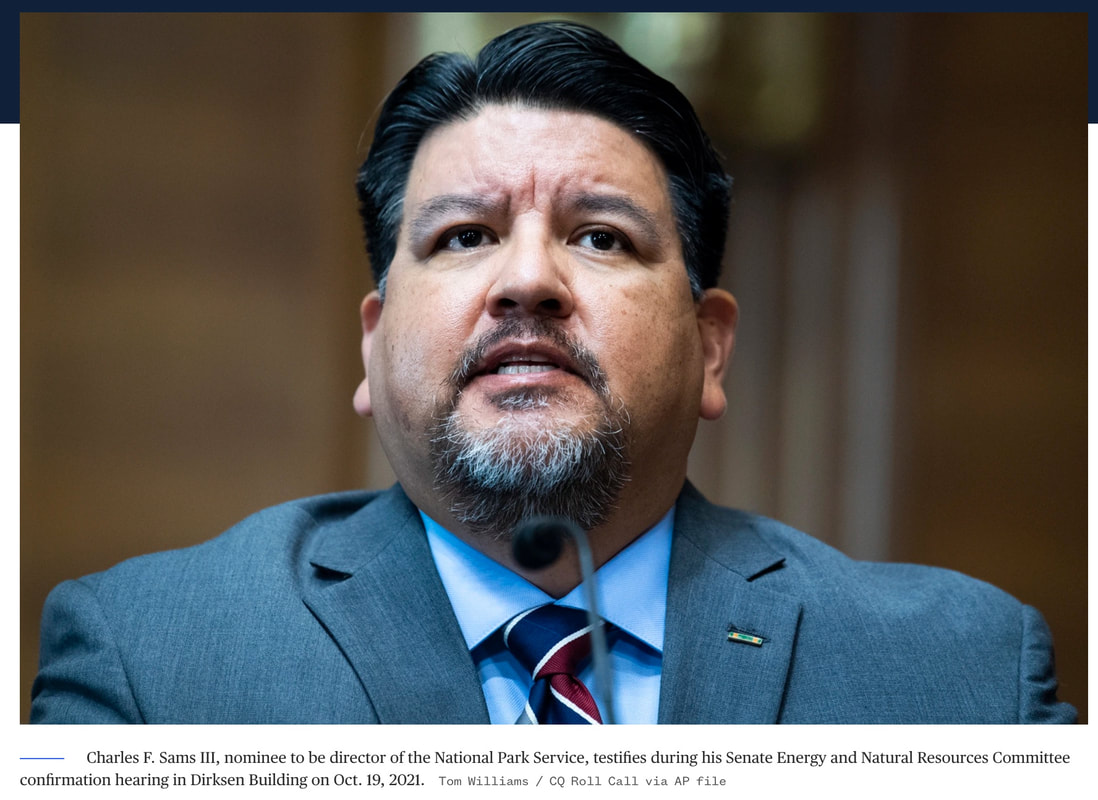
The Senate this week confirmed Charles “Chuck” Sams III as head of the National Park Service, making him the first Native American to lead the agency.

“The National Park Service is a very special agency with a timeless mission: to preserve resources and to inspire current and future generations. I am excited to lead that mission,” Sams said.

Sams was confirmed late Thursday evening by voice vote, indicating unanimous support. President Joe Biden nominated him for the post in August.

Sams is Cayuse and Walla Walla and a member of the Confederated Tribes of the Umatilla Indian Reservation, with ties to the Yankton Sioux and Cocopah Peoples. He served in the Navy as an intelligence specialist before working in natural resource and conservation management.
“My personal history is deeply interwoven with the fabric of our shared American history,” he said during his Senate confirmation hearing in October.

Interior Secretary Deb Haaland, the first Native American Cabinet secretary, has said Sams would be an “incredible asset” to the agency.

The Biden administration has prioritized the protection and restoration of Native lands. On Friday, Haaland ordered the removal of “squaw,” a derogatory term, from the more than 650 federal sites on which it appears. Earlier this week, Biden proposed a 20-year ban on oil and gas drilling within a 10-mile radius of a national park that holds historical significance to Native American tribes. In October, Biden restored environmental protections to national monuments in Utah and New England that had been stripped by the Trump administration.

The national park system was established in 1916. In recent years, the agency has had significant turnover at the director level. After Jonathan Jarvis served from 2009 until January 2017, former President Trump had four acting directors — all of whom had brief tenures. Shawn Benge has been the acting director under Biden since January.

The National Park Service has a budget of about $3 billion and around 20,000 employees. The agency oversees 423 sites covering 85 million acres.

Sams told senators last month that he plans to bring more Native American voices to the decision-making table and make areas more accessible to the public.

“The National Park Service is a very special agency with a timeless mission: to preserve resources and to inspire current and future generations. I am excited to lead that mission,” he said.

CLICK HERE to see the complete article at NBC News.

    Trail News

    Visit this page for all of the latest Trail News that affects our area.

    Archives

    February 2023
    January 2023
    November 2022
    October 2022
    September 2022
    August 2022
    July 2022
    June 2022
    April 2022
    March 2022
    January 2022
    November 2021
    October 2021
    August 2021
    July 2021
    June 2021
    May 2021
    April 2021
    March 2021
    February 2021
    January 2021
    December 2020
    November 2020
    October 2020
    September 2020
    August 2020
    July 2020
    June 2020
    May 2020
    April 2020
    March 2020
    February 2020
    January 2020
    December 2019
    November 2019
    October 2019
    September 2019
    August 2019
    July 2019
    June 2019
    May 2019
    April 2019
    March 2019
    February 2019
    January 2019
    December 2018
    November 2018
    October 2018
    September 2018
    August 2018
    July 2018
    June 2018
    May 2018
    April 2018
    March 2018
    February 2018
    January 2018
    December 2017
    November 2017
    October 2017
    September 2017
    August 2017
    July 2017
    June 2017
    May 2017
    April 2017
    March 2017
    February 2017
    January 2017
    December 2016
    November 2016
    October 2016
    September 2016
    August 2016
    July 2016
    June 2016
    May 2016
    April 2016
    March 2016
    February 2016
    January 2016
    December 2015
    November 2015
    October 2015
    September 2015
    August 2015

    Categories

    All

    RSS Feed

Home
Contact
 Mother Lode Trails is YOUR local volunteer-run trail information and resource website. Here you can find
up-to-the minute information on trail alerts, links and trail news for Placer,  Yuba, and Nevada counties.
Mother Lode Trails is trademarked.