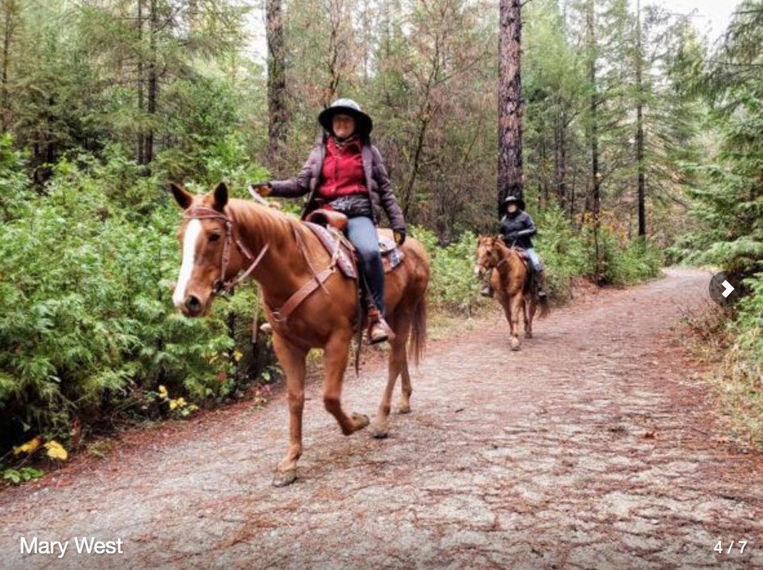
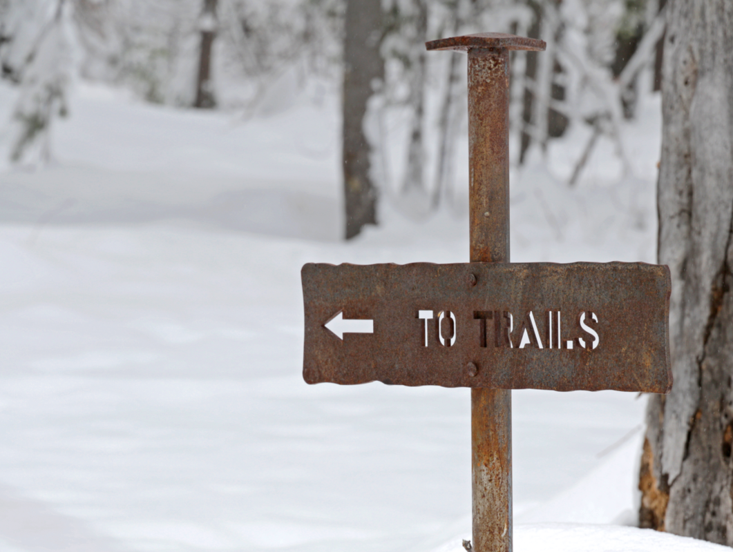
The Osborn Loop Trail is part of the 14-acre Empire Mine State Historic Park in Grass Valley. The trails are a runner’s dream. Well maintained and each trail intersecting another for a trip as long as you like. The same is true for equestrians and those of us who prefer a different pace. Park at the east end of the visitor’s center parking lot and access the trails in the back of the mining yard. Or park at Penn Gate. Occasionally, I like to pay the extra $7 fee to see the Bourn Cottage and grounds.
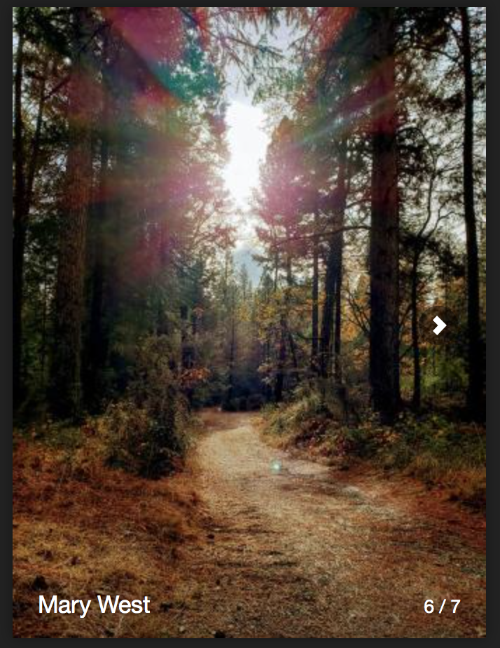
On my last visit, a dusting of snow put me in the holiday spirit. The cottage was decorated for Christmas and the Osborn Loop Trail was still drenched in fall color.
The historic park gives us a glimpse into the influence gold mining had in our area. The luxury of electricity, flush toilets and a telephone in the cottage were just a few of the signs of the wealth that came from the mine.
Several mine shafts dot the property. In the mining yard you can look through a gate into one of the shafts. If you get the docent-led tour, you will learn more about the life of a miner. Several buildings offer gold mining history lessons.
Once you leave the mining yard and head for the trail, concrete foundations and hills of pilings are evidence of the mining operations. The park has been doing some much-needed clearing of thick brush. A park-like setting is returning to some areas. The well-marked trails wind in and around the mine sites and keep you walking for miles.
The Osborn Loop trail is a 2.4-mile trail. Start at the east end of the visitor center parking lot. Head out on the Hardrock Trail and it will run into Osborn Loop Trail. It's easy to get diverted by the mining sites, so expect more than a 2.4-mile adventure. A section of this trail runs parallel to the road so keep your dogs on a leash. (Mother Lode Trails Note: dogs must be on a leash throughout the Park, off-leash dog owners will be cited.)
Close to town but offering a forest setting, the Empire Mine State Historic Park has a variety of attractions to keep most everyone entertained. To get there from Auburn, take Highway 49 north toward Grass Valley. Take the Empire Street exit and follow Empire Street up to the park.
Mary West is author of the book “Day Hiker:The Gold Country Trail Guide.” The book is a collection of the Day Hiker columns found in the Auburn Journal newspaper 2016-2019 where West shares her longtime love of the outdoors, and favorite hikes in Northern California’s Gold Country and beyond. West was a recipient of the 2017 CRAFT Award for Best Outdoor Column by the Outdoor Writers of California. You can follow West on Facebook and Instagram.
To see the original article and Mary's photos, visit the Auburn Journal newspaper.
------------------------------------------------------------------------------------------------------------------------------------------------------------
CLICK HERE for a trail map and more information about Empire Mine State Historic Park.
 RSS Feed