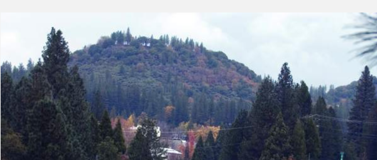
Land trust officials said this week they now can move forward with permitting and seeking grant funding, noting they hope to complete a portion of the trail by next fall.
City Planner Amy Wolfson said once a trail alignment and initial study are approved, the Bear Yuba Land Trust would be able to make the final drawings for the trail construction.
“We’re very excited to be at this step,” said Erin Tarr of the land trust. “This will be a great amenity for the community.”
Reached Tuesday, Tarr said now that the California Environmental Quality Act study is complete, the land trust will start working on getting several permits — specifically, from Caltrans for roadway encroachment and from the state Department of Fish and Wildlife for a streambed alteration.
Meanwhile, Tarr said, the nonprofit will seek grant funding for trail construction.
“We need to get at least the lower portion of the trail done by September 2020, or our easements will expire,” she said.
THE TRAIL
Nevada City acquired the 35-acre Sugarloaf property in January 2011 from the Mull family for $450,000. It formally annexed the land in 2017. That same year the city approved the conceptual trail alignment and since then city and land trust staff have been working with consultants to prepare studies, including one for geotechnical engineering feasibility, as well as a cultural resource survey and a biological inventory.
In April the City Council received an update and approved the draft initial study, with a public comment period ending Aug. 2. One comment was received regarding an area of trail on potentially unstable soil. The city previously received a comment expressing concern about trail parking impacting downtown neighborhoods.
The goal of the trail project is to connect downtown Nevada City to the top of Sugarloaf Mountain, according to the staff report. The trail route will be approximately one mile in length, will start at the corner of Highway 49 and North Bloomfield Road, and end at a point along an existing gravel access road that goes to the top of Sugarloaf from an entrance on upper Coyote Street.
The new trail also will connect to an existing graveled excavated area that will be improved to accommodate trail parking for approximately eight vehicles. The parking area will connect via an existing informal, user-created trail, which will be minimally improved — including brush clearing and tread improvement for drainage and loose rock removal. The proposed trail also connects to Hirschman Trail and Tobiassen Park via a recently established county trail that runs west from North Bloomfield Road to the Eric Rood Administrative Center.
During the Aug. 28 council meeting Wolfson noted the land trust is working with the county to use some parking at the Eric Rood Administrative Center after work hours.
CLICK HERE to see the original article and photos in The Union newspaper
To contact Staff Writer Liz Kellar, email lizk@theunion.com or call 530-477-4236.

 RSS Feed