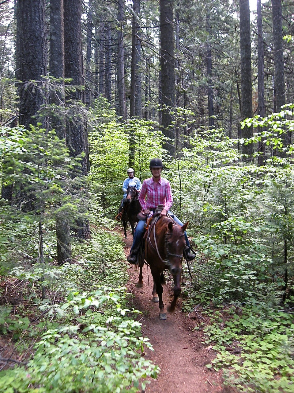
The Pioneer trail is 25 miles long. It begins at Hwy 20 near 5 Mile House a few miles above Nevada City and ends at Spaulding Lake Trail. The Pioneer Trail is suitable for equestrians, hikers, joggers, and mountain bicyclists.
Difficulty Level: Easy, west end - Difficult, east end Use level: Moderate Closed to all motorized vehicles
Closest Towns: Nevada City, CA
Directions: Trailhead Access: There are many places where you can access the trail, including Harmony Ridge Market, Lone Grave, White Cloud Picnic Area, Gold Country Trails Council Equestrian Staging Area, Washington Overlook trailhead, Upper Burlington Trailhead, Chalk Bluff trailhead, Omega Rest Stop, Ziebright Mine, all along Highway 20, and at Lang crossing on the Bowman Lake road.
Topo Maps: Washington 7.5’ & Blue Canyon, 7.5'
Trail description: From Five Mile House to White Cloud, the trail parallels Highway 20. Just west of the campground, the trail crosses the highway and goes deeper into the forest. From White Cloud to Skillman Campground, the trail is often located on abandoned ditches and roadbeds in dense timber. From Skillman to Chalk Bluff, the trail enters tree plantations where wildfires killed most of the older trees. East of Omega Rest Stop, the trail crosses to the north side of the highway and follows an old pioneer road to Steephollow Creek. The trail climbs then, descends toward the highway on the old Tahoe-Ukiah highway route, the predecessor of Highway 20. Now on the south side of the highway, the trail descends into Bear Valley, where it meets the Bowman Lake Road on the east side of the valley. The trail then follows the Bowman Lake road to the South Yuba River, crossing the bridge at Lang crossing. From the crossing, the trail climbs through nearly solid rock, then into live oak woodlands and finally into a mixed conifer forest until the trail joins the Spaulding Lake trail at a penstock that provides water for hydroelectric power at Spaulding Lake.
Turning left and traveling ¼ mile, the trail returns to the Bowman Lake Road; turning right on the Spaulding Lake Trail, you can access the Grouse Ridge Trail and the many trails within the Grouse Lakes area.
The Pioneer Trail is suitable for equestrians, hikers, joggers, and mountain bicyclists. It is closed to all motorized vehicles. Volunteers constructed most of the trail, a twenty-year project undertaken by the Gold Country Trails Council with supervision by the Forest Service. The Trails Council maintains the trail, with participation by other trail users.
In 2003, the Pioneer trail was designated as a National Recreation trail.
For More Information:
Tahoe National Forest
631 Coyote Street
Nevada City, CA 95959
530-265-4531
For complete information go here:
https://www.fs.usda.gov/recarea/tahoe/recarea/?recid=56012
 RSS Feed