MOTHER LODE TRAILS
  • Home
  • About
  • Contact
  • Volunteer
  • Links
    • Law Enforcement Emergency
    • Federal, State, County Districts Parks & Trails
    • Running Clubs
    • Equestrian Clubs
    • Mt. Bike Clubs
    • Hiking Clubs
    • Trail Advocacy Organizations
    • Phone Numbers State & Federal Parks, Trails & Lands
    • Where to Eat on the Trails
  • News
  • Alerts

An invitation to the PCTA 2019 Annual Meeting

2/28/2019

 
Picture
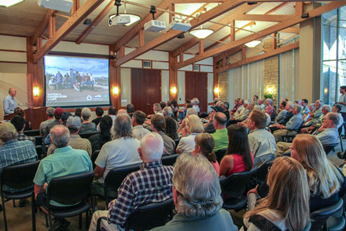
Mother Lode Trail and PCT enthusiasts, you’re invited to the Pacific Crest Trail Association’s 2019 Annual Meeting on Saturday, April 27, 2019 in Sacramento. It’s a great opportunity to hear about what volunteers and the organization accomplished for the PCT in 2018 and plans for 2019. It’s also a chance to meet PCTA staff and board members and socialize with other passionate folks from the PCT community.
​The meeting begins at 3 p.m. in the Sierra Health Foundation’s Bannon Island Room at 1321 Garden Highway in Sacramento. Following the meeting will be an open house from 4:15-5:30 p.m. with refreshments and raffle prizes. Please RSVP to Leslie Sabin at  or call 916-285-1852. We hope to see you there!

Folsom Lake SRA Update from State Parks - Falcon Crest Parking Lot and Equestrian Trails

2/28/2019

 
This meeting was in response to trail advocate organizations, adjoining landowners, and local government to address ongoing problems in Folsom Lake SRA. These minutes/plans for improvement were posted today by the Loomis Basin Horsemen's Association on their Facebook page. Some of these items have been in discussion with State Parks for sometime and will continue throughout the year. To help with these improvements, please download the Park Watch Report free for your phone at the App Store (parkwatchreport)  or GooglePlay HERE.
Picture
Picture

UPDATE: Mother Lode Trails CALENDAR down for maintenance

2/28/2019

 
Picture
UPDATE!
The MLT calendar guru has been ill with the flu and won't be able to finish this project for another week. Thanks for your patience!

​============================
Previously Posted 2/25/19
Many people use the Mother Lode Trails CALENDAR tab to find out quickly what events are affecting the trails they wish to use. It's an extremely popular page on the website! But, a few months ago, the webmaster noticed that the UpTo calendar she was using for the website wasn't working correctly. The maps weren't posting, the past events disappeared, just general hinkiness.

After attempting for over a month to get tech support for the UpTo embedded calendar, she has given up. As far as we can tell, UpTo is no longer supporting their online calendar software. She will be embedding a new calendar this next week, but it will take several days to enter over 1,000 events (!) as the UpTo calendar has also ceased any export functions.

​Please have patience.

Snow on the beautiful trails at Empire Mine

2/22/2019

 
Picture
This was sent by an intrepid rider at Empire Mine SHP on Monday. He said there were hikers, too! 

Before you go to Lake Tahoe, check the Sierra Avalanche Center webpage!

2/21/2019

 
Picture
​We are fortunate to have the dedicated folks who keep up the Sierra Avalanche Center webpage, our backcountry avalanche, snow and weather information site for the greater Lake Tahoe area. Every day they update this site to help you stay safe whether you are hiking, skiing, or snow shoeing.

Sierra Avalanche Center functions as a private-public partnership between the US Forest Service and a 501(c)(3) not for profit organization.  It is focused on educational and safety programs to support winter recreation and fundraising to support the financial needs of the program and the Board of Directors works jointly with the Tahoe National Forest.
​

​Please check Sierra Avalanche Center for daily avalanche forecasts.

Tahoe Donner Land Trust Hike of the Month: Johnson Canyon

2/21/2019

 
Picture
While the Donner Lake Rim Trail and the Wendin Way Trail make Johnson Canyon, just above Donner Lake, a popular snow-free destination, it is a great place to explore while buried under feet of snow. With numerous aspects offering various routes wandering through open faces and wooded glades, Johnson Canyon offers jaw-dropping views of Donner Lake and the Sierra Crest.
Snowshoers and skiers can either start from the Wendin Way trailhead just above Donner Lake Interchange, or from the Glacier Way Trailhead in Tahoe Donner. Click here to see a map and for additional information. Be aware that avalanches, while uncommon in the canyon, do occur on steeper slopes.
From Glacier way, loosely following the Donner Lake Rim Trail out to the picnic area/overlook offers a relatively easy option with a few hills along the way, culminating in amazing views across the top of the canyon, down toward Donner Lake, and out across the Sierra Crest. Frog Lake Cliff, Castle Peak and more can be seen from here.
From Donner Lake Interchange, you can head up numerous directions depending on snow conditions and safety, passing through willows, Jeffrey pines, fir, mountain alder and aspen with changing views of the surrounding ridges and Donner Lake. While Johnson Canyon can often be very peaceful and serene, it is important to know that snowmobilers also use the area.
Avalanche safety education and equipment are strongly recommended for Johnson Canyon. A beacon check station is available at the Donner Lake Interchange trailhead. Please check Sierra Avalanche Center for daily avalanche forecasts.

CLICK HERE for original article on the Tahoe Donner Land Trust Newsletter.
​
Picture

Salmon Falls endurance trail run this Saturday, Feb. 23, 2019

2/20/2019

 
Picture
The race will begin at the Magnolia Ranch Trail Head parking lot off Hwy 49 in Pilot Hill, then take the Hidden Valley Cut Off Trail and begin climbing towards the Pedro Hill parking area, then will then begin ascending the West Ridge Trail. Runners will run the ridge before a long descend ending near the South Fork of the American River. Coming off the overlook runners will begin descending to the Salmon Falls parking area on a hill known locally as “Red Dragon”. The route continues on from Salmon Falls showcasing the Sweet Water Creek trail system. Runners will continue on rolling single track trail until Browns Ravine Marina area. A few miles after Browns Ravine runners with arrive at Dike Eight, one of the largest dikes which make up Folsom Lake.  Runners will end the race by running across the top of Dike Eight to finish at Folsom Point recreation area.

If you are not a participant in this race, please use other trails on that day.

Facebook Event Page:  https://www.facebook.com/SalmonFalls50K/

Website:  https://www.salmonfalls50k.com


Picture

State Parks closing both sides of old 49er Bridge and access road.

2/14/2019

 
Picture
February 14, 2019 at 11:24 AM State Parks is closing both sides of the old 49er Bridge and the access road. The hillside is highly unstable and more rockfalls and mudslides are expected. Boulders and trees have come down, crushed the restrooms and the parking lot has experienced mud and rock slides. Save your own life and that of the first responders by staying out of the area. The hillside is highly unstable and more rockfalls and mudslides are expected.

$50K more for Hidden Falls study, approved 5-0, with caveats

2/13/2019

 
Picture
The Supes approved funding for Placer's Hidden Falls Park Park study yesterday, but neighboring landowners of the expansion continue to speak out against Bell Road proposal. Placer County’s move to create a new public-access point to Hidden Falls Regional Park has $50,000 more in funding. (photo of existing parking area)
The funding was approved Tuesday by the Board of Supervisors on a 5-0 vote, with supervisors Jennifer Montgomery and Jim Holmes saying their “yes” votes didn’t mean the proposed entrance and parking lot on Bell Road was approved or met their approval. 
Montgomery amplified her point by asking Parks Administrator Andy Fisher whether one of the alternatives in the study will be for no project. Fisher said that was the case, adding that the $50,000 would help come up with solutions for some of the problems the Bell Road access point could conceivably cause.
Both Montgomery and Holmes said increased traffic on the road caused by a new access is a concern.
“I support the motion but that doesn’t mean I support the project,” Holmes said. “Traffic analysis will be key. It’s one of my primary considerations.”
The new funding increases the amount in a consultant services agreement with AECOM Technical Services to $283,000 from $233,000. The county is exploring the possibility of an access point in the 5300-block of Bell Road in North Auburn as part of Hidden Falls trails expansion.
Opposition has been steady to the access-parking lot idea and public comment at Tuesday’s meeting on the funding increase reflected that concerns are continuing.
Jim Goddard, an Auburn, Placer resident for 42 years, said people who invested early in the Placer Legacy land preservation program “would be appalled with what’s going on. Two-thirds of the Hidden Falls visitors are from outside Placer County and “contribute nothing,” he said. “The choice is clear, support those who do not live in the county or support those who live in the county.”
Lloyd Harvego, a property owner near the park, said he wants the county to “sit down and talk with us. I’m a supporter of what you do but there are real complications on the road,” Harvego said.
​
To see the complete article in the Auburn Journal newspaper, CLICK HERE.


Folsom Lake trail detour alerts January through July 2019

2/10/2019

 
Report from the Folsom Lake State Recreation Area Superintendent's office:
The Bureau of Reclamation is completing construction improvements as part of its Safety of Dams program. They are doing reclamation safety work on Folsom Dam with these trail detours as a result. 
​
Affected are Folsom Reservoir’s Mormon Island Auxiliary Dam and Dikes 1, 4, 5 and 6 in the Folsom Lake State Recreation Area.

The construction work will result in the temporary closure of the trail across the top of Dikes 4, 5 and 6 between Beals Point and Granite Bay through July 2019. Signs and maps will be posted at each end of the closure identifying the detour route.

For more information about the improvements, including maps, visit: https://usbr.gov/mp/sod/projects/folsom/

Picture
Picture
Picture
<<Previous

    Archives

    May 2025
    April 2025
    March 2025
    February 2025
    January 2025
    December 2024
    November 2024
    October 2024
    September 2024
    August 2024
    July 2024
    June 2024
    May 2024
    April 2024
    March 2024
    February 2024
    January 2024
    December 2023
    November 2023
    October 2023
    September 2023
    August 2023
    July 2023
    June 2023
    May 2023
    April 2023
    March 2023
    February 2023
    January 2023
    December 2022
    November 2022
    October 2022
    September 2022
    August 2022
    July 2022
    June 2022
    May 2022
    April 2022
    March 2022
    February 2022
    January 2022
    December 2021
    November 2021
    October 2021
    September 2021
    August 2021
    July 2021
    June 2021
    May 2021
    April 2021
    March 2021
    February 2021
    January 2021
    December 2020
    November 2020
    October 2020
    September 2020
    August 2020
    July 2020
    June 2020
    May 2020
    April 2020
    March 2020
    February 2020
    January 2020
    December 2019
    November 2019
    October 2019
    September 2019
    August 2019
    July 2019
    June 2019
    May 2019
    April 2019
    March 2019
    February 2019
    January 2019
    December 2018
    November 2018
    October 2018
    September 2018
    August 2018
    July 2018
    June 2018
    May 2018
    April 2018
    March 2018
    February 2018
    January 2018
    December 2017
    November 2017
    October 2017
    September 2017
    August 2017
    July 2017
    June 2017
    May 2017
    April 2017
    March 2017
    February 2017
    January 2017
    December 2016
    November 2016
    October 2016
    September 2016
    August 2016
    July 2016
    June 2016
    May 2016
    April 2016
    March 2016
    February 2016
    January 2016
    December 2015
    November 2015
    October 2015
    September 2015
    August 2015
    July 2015

    Categories

    All

    RSS Feed

Home
Contact
 Mother Lode Trails is YOUR local volunteer-run trail information and resource website. Here you can find
up-to-the minute information on trail alerts, links and trail news for Placer,  Yuba, and Nevada counties.
Mother Lode Trails is trademarked.