Oct 28, 2020
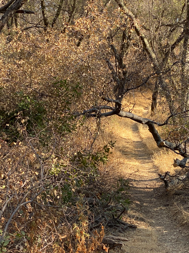
Trails are a favorite of Placer County residents, whether you hike, ride a bike or horse, or run.
A county opinion survey showed multi-use trails as the top priority for future park projects –
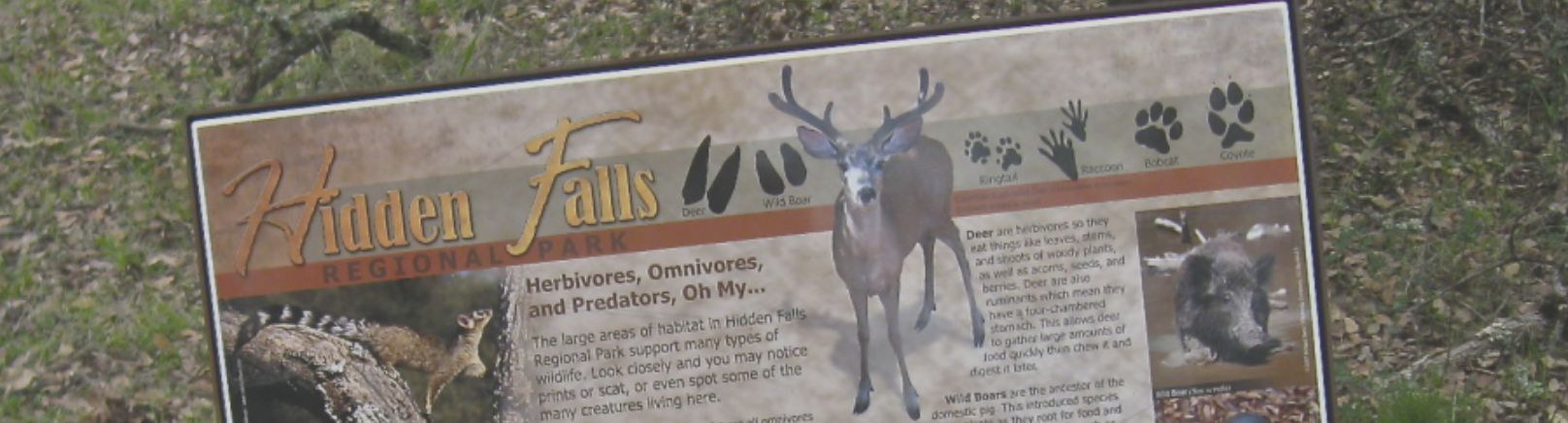
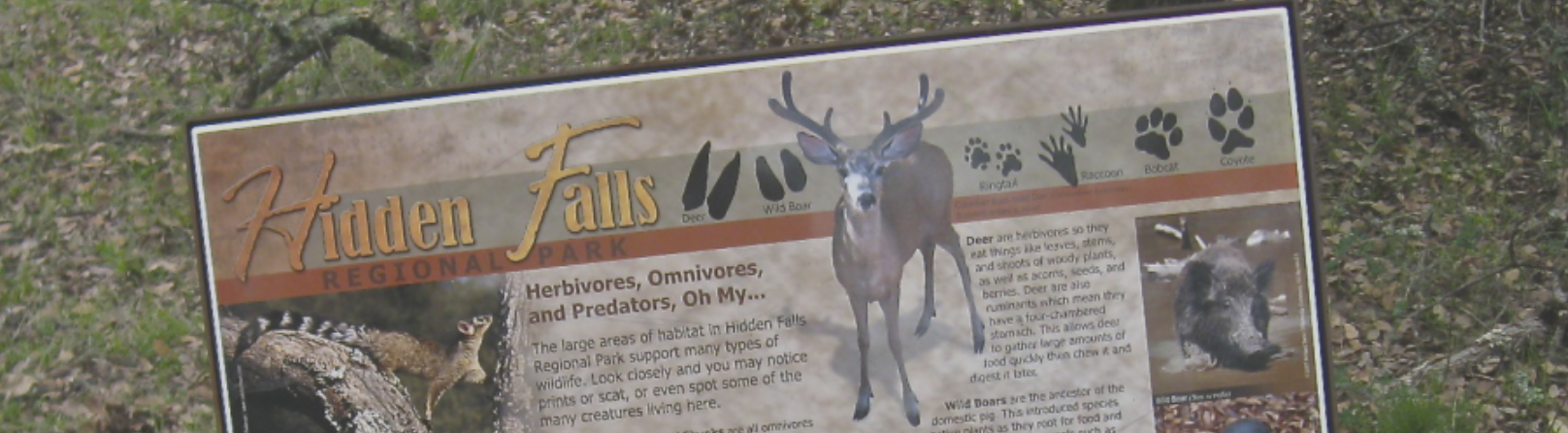
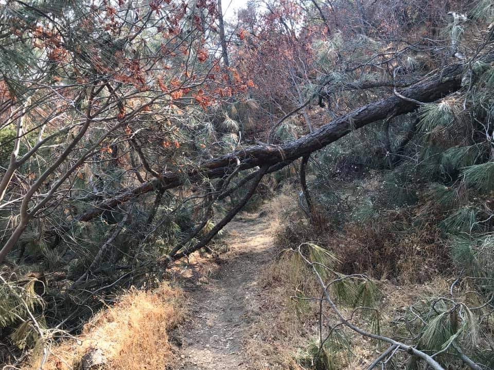
91 percent support more trails and recreation access to open space. Foothill trails are in high demand but short supply, and users of Placer County’s foothill trails routinely experience overcrowding of popular trailheads and trails, especially at Hidden Falls Regional Park.
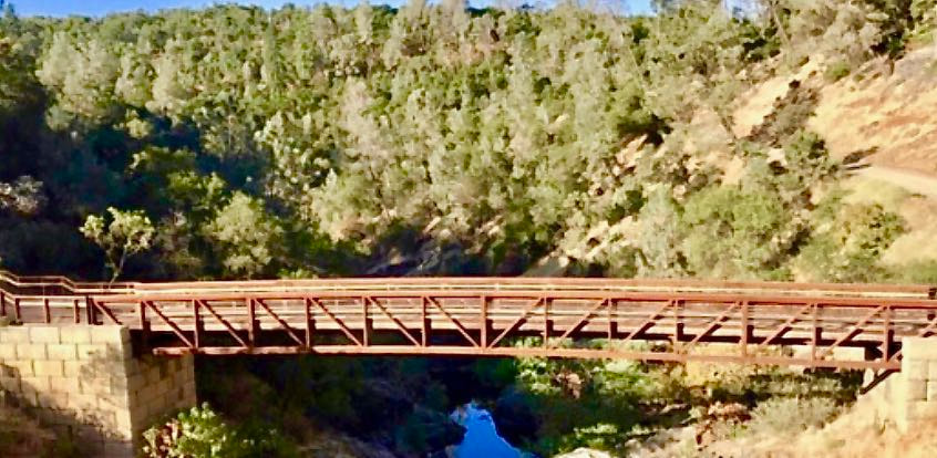
Placer Trails, a coalition of seven trail groups active in Placer County with more than 4,000 members, enthusiastically supports the Hidden Falls Trail Expansion Project. The expansion project will double the size of the Hidden Falls trail network and provide public access to more than 2,500 acres of open-space preserves owned by Placer Land Trust.
For more than 15 years, the Land Trust has been working together with Placer County, the State of California, foundations and willing landowners to acquire this natural open space and working rangeland north of the existing Hidden Falls Regional Park, extending to the Bear River.
More than $7 million of county funds have been invested along with state and foundation funds to permanently protect these lands as natural open space, for continued livestock grazing and to provide for public trail access. Each acquisition the county helped fund required deeded trail easements owned by the county to provide public trail access. Without trail access, the county would not have participated and there would be no preserves.
The Environmental Impact Report (EIR) for full build-out of the Trail Expansion Project, which would include three new trailheads, more than 350 new parking spaces and 30 miles of trail, concluded that all but a few potential impacts would be less than significant.
Fire officials approved plans for wildfire mitigation and evacuation, and traffic engineers approved the adequacy of area roads. Cal Fire data do not show use of non-motorized trails as a significant fire risk. Even so, project opponents who live near the park continue to voice concerns. In addition to fire and traffic, opponents fear trail recreation and livestock grazing will not be compatible and that agriculture will suffer. However, there are examples throughout California, including East Bay Regional Parks, city of San Luis Obispo and several more, where there have been years of uneventful coexistence of multi-use trails through open rangeland with no ill-effects on livestock or trail users. Recreation and agriculture can successfully coexist, and both are critical to our region’s economy.
In response to public comment, economics and other factors not evaluated in the EIR, county parks has proposed a reduced project as a compromise between (1) the full project evaluated in the EIR, and (2) elimination of the project as sought by neighborhood opponents. The reduced project is similar to the lowest-impact project alternative evaluated in the EIR, but with even less public access. The reduced project would reduce public benefits but would have the least negative impact on the environment and the neighborhood because it substantially reduces parking, road modifications and traffic. By comparison, if the trail expansion properties were instead developed to the level allowed by current zoning, there would be more traffic added than by the trailhead parking proposed in the reduced project.
Placer Trails has carefully considered the reduced project in relation to our previous recommendation to proceed with the full project. Despite reduction of new parking by more than half from the full project, as well as elimination of public access at Curtola Ranch Road, the reduced project stills achieves a modest increase in parking and, most importantly, will grant public access to 30 miles of new trails through Land Trust preserves – trails which taxpayers have invested in.
Placer Trails supports the reduced project as an acceptable compromise that will substantially reduce neighborhood impacts, already deemed less than significant, while still opening up a new multi-use trails for public use. The Parks Commission agreed, with a unanimous vote to recommend the reduced project. We hope the opponents of the project will also see this as a reasonable compromise.
Seldom has it been so clear as during the global pandemic that the health of our community depends on ready access to nature and trails. The county should move ahead with the reduced project to create a truly unique and expansive trail system in the foothills of Placer County for present and future generations.
Learn more at PlacerTrails.org and join us in speaking up for trails!
--Bob Gilliom
CLICK HERE to see original article in Gold Country Media.
Trails are a favorite of Placer County residents, whether you hike, ride a bike or horse, or run.
A county opinion survey showed multi-use trails as the top priority for future park projects –
91 percent support more trails and recreation access to open space. Foothill trails are in high demand but short supply, and users of Placer County’s foothill trails routinely experience overcrowding of popular trailheads and trails, especially at Hidden Falls Regional Park.
Placer Trails, a coalition of seven trail groups active in Placer County with more than 4,000 members, enthusiastically supports the Hidden Falls Trail Expansion Project. The expansion project will double the size of the Hidden Falls trail network and provide public access to more than 2,500 acres of open-space preserves owned by Placer Land Trust.
For more than 15 years, the Land Trust has been working together with Placer County, the State of California, foundations and willing landowners to acquire this natural open space and working rangeland north of the existing Hidden Falls Regional Park, extending to the Bear River.
More than $7 million of county funds have been invested along with state and foundation funds to permanently protect these lands as natural open space, for continued livestock grazing and to provide for public trail access. Each acquisition the county helped fund required deeded trail easements owned by the county to provide public trail access. Without trail access, the county would not have participated and there would be no preserves.
The Environmental Impact Report (EIR) for full build-out of the Trail Expansion Project, which would include three new trailheads, more than 350 new parking spaces and 30 miles of trail, concluded that all but a few potential impacts would be less than significant.
Fire officials approved plans for wildfire mitigation and evacuation, and traffic engineers approved the adequacy of area roads. Cal Fire data do not show use of non-motorized trails as a significant fire risk. Even so, project opponents who live near the park continue to voice concerns. In addition to fire and traffic, opponents fear trail recreation and livestock grazing will not be compatible and that agriculture will suffer. However, there are examples throughout California, including East Bay Regional Parks, city of San Luis Obispo and several more, where there have been years of uneventful coexistence of multi-use trails through open rangeland with no ill-effects on livestock or trail users. Recreation and agriculture can successfully coexist, and both are critical to our region’s economy.
In response to public comment, economics and other factors not evaluated in the EIR, county parks has proposed a reduced project as a compromise between (1) the full project evaluated in the EIR, and (2) elimination of the project as sought by neighborhood opponents. The reduced project is similar to the lowest-impact project alternative evaluated in the EIR, but with even less public access. The reduced project would reduce public benefits but would have the least negative impact on the environment and the neighborhood because it substantially reduces parking, road modifications and traffic. By comparison, if the trail expansion properties were instead developed to the level allowed by current zoning, there would be more traffic added than by the trailhead parking proposed in the reduced project.
Placer Trails has carefully considered the reduced project in relation to our previous recommendation to proceed with the full project. Despite reduction of new parking by more than half from the full project, as well as elimination of public access at Curtola Ranch Road, the reduced project stills achieves a modest increase in parking and, most importantly, will grant public access to 30 miles of new trails through Land Trust preserves – trails which taxpayers have invested in.
Placer Trails supports the reduced project as an acceptable compromise that will substantially reduce neighborhood impacts, already deemed less than significant, while still opening up a new multi-use trails for public use. The Parks Commission agreed, with a unanimous vote to recommend the reduced project. We hope the opponents of the project will also see this as a reasonable compromise.
Seldom has it been so clear as during the global pandemic that the health of our community depends on ready access to nature and trails. The county should move ahead with the reduced project to create a truly unique and expansive trail system in the foothills of Placer County for present and future generations.
Learn more at PlacerTrails.org and join us in speaking up for trails!
--Bob Gilliom
CLICK HERE to see original article in Gold Country Media.
 RSS Feed