Several organizations whose mission it is to protect non-motorized trails registered comments in response to the Pines to Mines Trail Environmental Assessment to Tahoe National Forest by the deadline last week. They were:
All were protesting the alternative proposed by Tahoe National Forest to change the several year plan of the non-motorized Pines to Mines Trail to add motorized electric bikes (e-bikes), which would change the trail to motorized.
The majority of the original working group of the trail, including Gold Country Trails Council and the County of Nevada Board of Supervisors, were surprised that after years of work and funding on the Pines to Mines non-motorized trail that Tahoe National Forest Superintendent Eli Ilano changed the scope of the trail to add e-bikes.
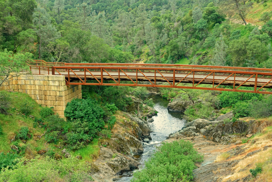
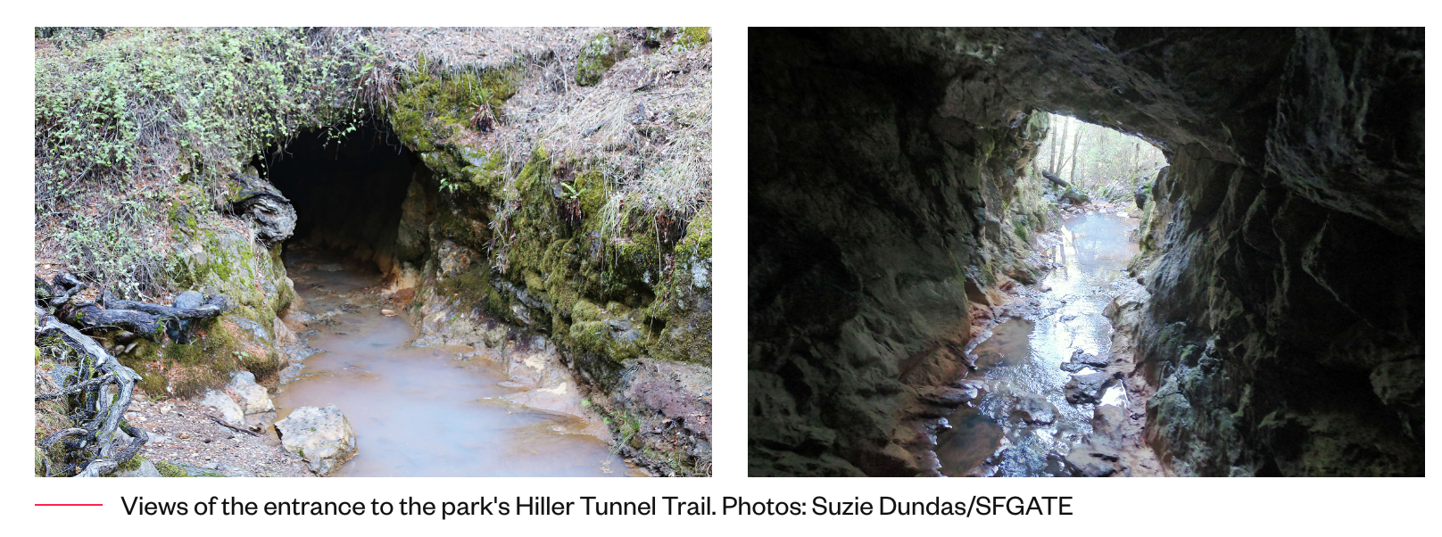
The Pines to Mines Trail is proposed to start in Truckee and end in Nevada City, mostly utilizing the original Pioneer Trail, a nationally recognized non-motorized trail that was established in 1981 with Gold Country Trails Council, Tahoe National Forest and California Department of Transportation.
To read the comment letters, click here:
Gold Country Trails Council
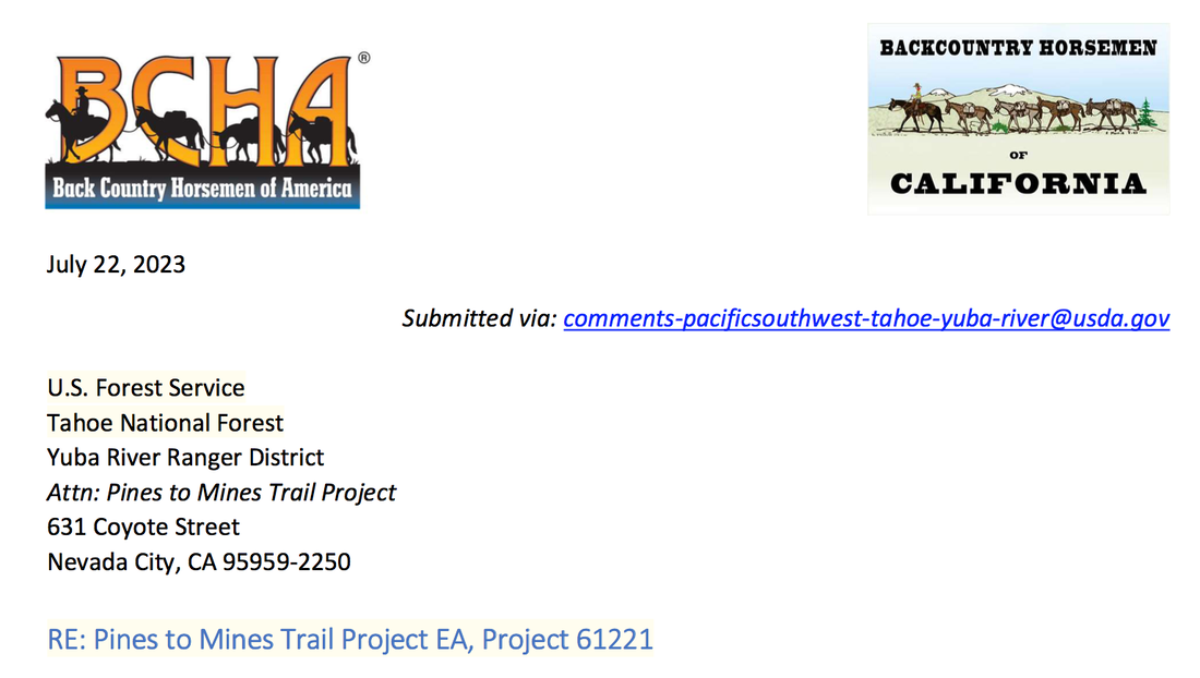
Back Country Horsemen of America
Back Country Horsemen of California, Mother Lode Unit
Sierra Foothills Audubon Society
- Back Country Horsemen of California
- Back Country Horsemen of America
- Gold Country Trails Council
- Sierra Club, Mother Lode Chapter
- Audubon Society of the Mother Lode
All were protesting the alternative proposed by Tahoe National Forest to change the several year plan of the non-motorized Pines to Mines Trail to add motorized electric bikes (e-bikes), which would change the trail to motorized.
The majority of the original working group of the trail, including Gold Country Trails Council and the County of Nevada Board of Supervisors, were surprised that after years of work and funding on the Pines to Mines non-motorized trail that Tahoe National Forest Superintendent Eli Ilano changed the scope of the trail to add e-bikes.
The Pines to Mines Trail is proposed to start in Truckee and end in Nevada City, mostly utilizing the original Pioneer Trail, a nationally recognized non-motorized trail that was established in 1981 with Gold Country Trails Council, Tahoe National Forest and California Department of Transportation.
To read the comment letters, click here:
Gold Country Trails Council
Back Country Horsemen of America
Back Country Horsemen of California, Mother Lode Unit
Sierra Foothills Audubon Society


 RSS Feed