MOTHER LODE TRAILS
  • Home
  • About
  • Contact
  • Volunteer
  • Links
    • Law Enforcement Emergency
    • Federal, State, County Districts Parks & Trails
    • Running Clubs
    • Equestrian Clubs
    • Mt. Bike Clubs
    • Hiking Clubs
    • Trail Advocacy Organizations
    • Phone Numbers State & Federal Parks, Trails & Lands
    • Where to Eat on the Trails
  • News
  • Alerts

Memorial Day: Free admission to California state parks for veterans, military members

5/29/2021

 
Picture
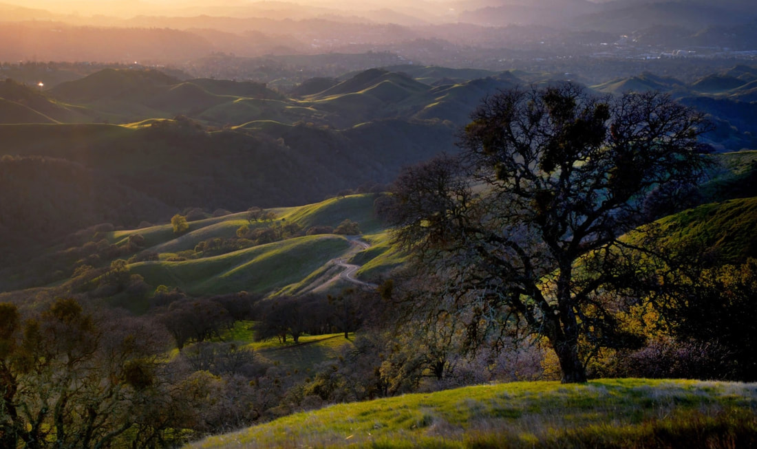
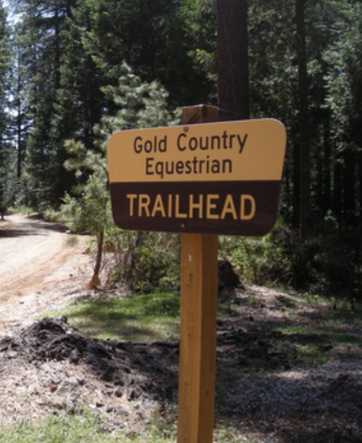
No charge at 134 California state park for vets, active duty and reserve service members
In an annual California tradition to honor the military, admission to 134 California state parks — from beaches to redwood forests, historical sites to sparkling lakes — will be free Monday to veterans, active duty and reserve military members to mark Memorial Day.
The policy, enacted in 2013 with a law signed by former Gov. Jerry Brown, allows free day use admission at state parks for veterans and personnel from the U.S. Armed Forces and the National Guard of any state if they show military ID or proof of discharge other than dishonorable or bad conduct, at the entrance gate.
“Thank you to the brave men and woman who have made the ultimate sacrifice for our country,” said California State Parks Director Armando Quintero in a statement. “In their honor, state parks is offering military individuals complimentary admission to some of the most amazing places within California’s state parks system.”
Civilian visitors who did not serve in the military still will be required to pay regular admission fees.

Among the free parks on May 31 for the military are some of California’s most noteworthy landmarks, see the list below.

The free offer does not include national parks, seashores or monuments like Yosemite, Point Reyes or Muir Woods. All national parks in the United State have six free days a year, including Veteran’s Day, which will be Nov. 11.
Admission at California state parks ranges in price, but is typically $10 per vehicle.
The state parks offering free admission to veterans and active duty and reserve military members on Memorial Day are: 
(Parks in Mother Lode Trails coverage area are in bold.)


  • Anderson Marsh State Historic Park (SHP)
  • Andrew Molera State Park (SP)
  • Angel Island SP
  • Annadel SP
  • Año Nuevo SP
  • Antelope Valley CA Poppy Reserve State Natural Reserve (SNR)
  • Anza-Borrego Desert SP
  • Auburn State Recreation Area (SRA)
  • Benbow Lake State SRA
  • Benicia SRA
  • Bethany Reservoir SRA
  • Bidwell-Sacramento River SP
  • Bolsa Chica State Beach (SB)
  • Bothe-Napa Valley SP
  • Brannan Island SRA
  • Calaveras Big Trees SP
  • California Citrus SHP
  • California State Railroad Museum
  • Cardiff SB
  • Carlsbad SB
  • Carnegie State Vehicular Recreation Area (SVRA)
  • Carpinteria SB
  • Castle Crags SP
  • Castle Rock SP
  • Caswell Memorial SP
  • China Camp SP
  • Chino Hills SP
  • Clay Pit SVRA
  • Clear Lake SP
  • Colonel Allensworth SHP
  • Colusa-Sacramento River SRA
  • Crystal Cove SP
  • Cuyamaca Rancho SP
  • Doheny SB
  • Donner Memorial SP
  • Eastern Kern County Onyx Ranch SVRA
  • Ed Z’Berg Sugar Pine Point SP
  • El Capitan SB
  • Emerald Bay SP
  • Emma Wood SB
  • Folsom Lake SRA
  • Folsom Powerhouse SHP
  • Fort Ross SHP
  • Fort Tejon SHP
  • Fremont Peak SP
  • Gaviota SP
  • George J. Hatfield SRA
  • Grover Hot Springs SP
  • Half Moon Bay SB
  • Hendy Woods SP
  • Henry Cowell Redwoods SP
  • Henry W. Coe SP
  • Hollister Hills SVRA
  • Humboldt Redwoods SP
  • Hungry Valley SVRA
  • Huntington SB
  • Indian Grinding Rock SHP
  • Jack London SHP
  • Jedediah Smith Redwoods SP
  • Kenneth Hahn (Baldwin Hills Scenic Overlook only)
  • Kings Beach SRA
  • La Purisima Mission SHP
  • Lake Oroville SRA
  • Lake Perris SRA
  • Leo Carrillo SP
  • Los Angeles SHP
  • Malakoff Diggins SHP
  • Malibu Creek SP
  • Malibu Lagoon SB
  • Manresa SB
  • Marshall Gold Discovery SHP
  • McArthur-Burney Falls Memorial SP
  • McConnell SRA
  • McGrath SB
  • Millerton Lake SRA
  • Mono Lake Tufa SNR
  • Morro Bay SP
  • Mount Diablo SP
  • Mount San Jacinto SP
  • Mount Tamalpais SP
  • Natural Bridges SB
  • New Brighton SB
  • Oceano Dunes SVRA
  • Olompali SHP
  • Pacheco SP
  • Palomar Mountain SP
  • Patrick’s Point SP
  • Pescadero SB
  • Pfeiffer Big Sur SP
  • Picacho SRA
  • Pismo SB
  • Point Lobos SNR
  • Point Mugu SP
  • Pomponio SB
  • Portola Redwoods SP
  • Prairie City SVRA
  • Prairie Creek Redwoods SP
  • Providence Mountains SRA
  • Railtown 1897 State Historic Park
  • Red Rock Canyon SP
  • Refugio SB
  • Richardson Grove SP
  • Robert H. Meyer Memorial SB
  • Russian Gulch SP
  • Saddleback Butte SP
  • Salt Point SP
  • Salton Sea SRA
  • Samuel P. Taylor SP
  • San Buenaventura SB
  • San Clemente SB
  • San Elijo SB
  • San Gregorio SB
  • San Luis Reservoir SRA
  • San Onofre SB
  • Seacliff SB
  • Silver Strand SB
  • Silverwood Lake SRA
  • Sinkyone Wilderness SP
  • South Carlsbad SB
  • South Yuba River SP
  • Standish Hickey SRA
  • Sugarloaf Ridge SP
  • Sunset SB
  • The Forest of Nisene Marks SP
  • Tomales Bay SP
  • Topanga SP
  • Torrey Pines SB
  • Torrey Pines SNR
  • Tule Elk SNR
  • Turlock Lake SRA
  • Van Damme SP
  • Wilder Ranch SP
  • Will Rogers SHP
  • William B. Ide Adobe SHP

To see the original article in The Mercury News CLICK HERE.

New Tahoe National Forest rule on 14-day restrictions on camping

5/27/2021

 
Picture
​Forest Order No. 17-21-01 USDA Forest Service Tahoe National Forest Camping and Campfire Restrictions Pursuant to 16 U.S.C. § 551 and 36 C.F.R. § 261.50(a), and to protect natural resources, the following acts are prohibited within the Tahoe National Forest.

This Order is effective from April 4, 2021, through April 4, 2024.
1. Dispersed camping for more than 14 days in a calendar year per Ranger District. 36 C.F.R. § 261.58(a).
2. Camping in a developed campground for more than 14 days in a calendar year per Ranger District.
36 C.F.R. § 261.58(b). Pursuant to 36 CFR 261.50(e), the following persons are exempt from this Order:
1. Any Federal, State or local officer, or member of an organization rescue or fire fighting force in the performance of an official duty.
2. Persons with Forest Service Permit No. FS-7700-48 (Permit for Use of Roads, Trails, or Areas Restricted by Regulation or Order), specifically exempting them from this Order.

These prohibitions are in addition to the general prohibitions found in 36 C.F.R. Part 261, Subpart A. A violation of these prohibitions is punishable by a fine of not more than $5,000 for an individual or $10,000 for an organization, or imprisonment for not more than six months, or both.
16 U.S.C. § 551 and 18 U.S.C. §§ 3559, 3571, and 3581.
Done at Nevada City, California, this 19th day of March, 2021. 
Signed,
Eli Ilano
Forest Supervisor
Tahoe National Forest 


North Lake Tahoe’s Martis Valley Trail project reaches major milestone

5/27/2021

 
Picture
The Martis Valley Trail project in the North Lake Tahoe region reached a major milestone on Tuesday as the Placer County Board of Supervisors voted to execute an easement agreement with the U.S. Army Corps of Engineers - allowing construction of this critical reach of the larger trail system envisioned for the region to move forward.
The 10.2-mile paved pathway will connect the Town of Truckee through Martis Valley and Northstar Village and up to the Brockway Summit above Lake Tahoe.
The project is a collaborative project management effort between Placer County and Northstar Community Services District. The Resort at Northstar has also provided needed trail easements.
Washoe Tribe members were consulted to understand their history and concerns. With continuing input from the Tribe, the project will incorporate protections of cultural resources and convey the story of the Tribe’s rich history in the valley.
Majority funding for the project will be provided by local county park development funds and transient occupancy taxes, which were approved by the board earlier this year.
The project will ultimately become part of the Resort Triangle Trail, which, when complete, will connect the communities of Kings Beach, Tahoe City, Olympic Valley, Truckee, Martis Valley and Northstar in a great big loop trail. The trail will be paved and separated from highways and roads to maximize the safety and experience of trail users.
Placer County Parks Administrator Andy Fisher took time in the Board of Supervisors meeting to thank some of the key people who were instrumental in the project including U.S. Rep. Tom McClintock’s office, Col. James Handura and his staff at the Sacramento District of the U.S. Army Corps of Engineers, Northstar Community Services District General Manager Mike Staudenmayer and project engineer Eric Martin.
“This project is already seeing major recreational use, and once the trail is complete between Truckee and Northstar it will also provide an alternative transportation route between local housing and employment centers,” said Fisher. “It’s amazing to be part of a connected regional trail project that has the cooperation of so many partnering agencies. The genesis of this trail goes all the way back to the 1970s when the Tahoe City Public Utility District began building paved trails along the west shore of Lake Tahoe and along the Truckee River. They have since become some of the most popular trails in the nation and have broadened into a multi-state vision to connect all of the communities in the Lake Tahoe area segment by segment.”
Northstar Community Service District has taken a lead role in construction of over a mile of the trail that can be seen today from state Route 267 driving across Martis Valley from Truckee headed toward Tahoe and will continue to manage construction through the Corps of Engineers’ property.
In a related item, the board also approved and authorized the county to execute a funding agreement with Northstar Community Services District for construction of the Martis Valley Trail Project. The county will be responsible for its ongoing operation and maintenance.
The anticipated cost of the trail from the Army Corps’ Martis Creek Lake Recreation Area to Northstar Drive is $8 million. In addition to local sources, the project will be funded by federal and state grant programs.
Connection between the Town of Truckee and Northstar Drive is slated for completion by the end of 2022.

For complete article from the Placer County Newsletter CLICK HERE.


Prescribed burns at Beale to affect Spenceville Wildlife Area

5/26/2021

 
Picture
The Beale Fire Department and on-base Wildland Support Module will be conducting prescribed burns on base between May 27 and June 11.

Approximately, 3,255 acres of prescribed burning is scheduled to take place between these dates with the most significant prescriptive burn occurring on June 5. During this burn, 2,175 acres will be targeted and smoke will be visible coming from Beale Air Force Base during this time period.

Burns will start between 8 a.m. and 10 a.m. pending on weather conditions and will continue into the afternoon. Smoke will be visible from Highway 20, Browns Valley, Smartsville, Wheatland, Linda and surrounding communities.

For the June 5 burn, California Air Resources Board and Feather River Air Quality Management District will mobilize air monitoring stations and monitor potential smoke impacts throughout the surrounding communities. In addition, multiple fire agencies will be assisting Beale’s Fire Department with the ignition and control of the largest burn.

These fire agencies includes the Fire Departments from Wheatland, Linda, Marysville, and Smartsville, the U.S. Forest Service, CALFIRE, and two United States Air Force Wildland Support Modules from Joint Base Charleston and Vandenberg.

Prescribed burns aim to reduce the threat of wildland fire by minimizing vegetative fuel loading, as well as reduce invasive plants and weeds in order to promote an increase in native grasses. The Air Force will only initiate the burns with favorable weather conditions including humidity, temperature, wind speed and direction, and moisture in the vegetation. Fire crews conduct small test fires before igniting the larger area to verify how effectively vegetation (fuels) will be consumed to ensure the burn and smoke management objectives can be met. Beale’s Air Quality Manager and Wildland Fire & Fuels Specialists is working diligently and in close coordination with the California Air Resources Board and Feather River Air Quality Management District to minimize smoke impacts to the surrounding communities.

During active fire operations, fire personnel and apparatuses working in these vicinities will be visible to the public. Motorists are reminded to slow down and drive with heightened caution when passing through active prescribed burn areas.

Firefighters working in fire teams will work to control the fire’s intensity and ensure the fire progresses in a safe manner. Resources will continue to check the area for several days following the fires.

Questions regarding prescribed burns can be directed to 9th Reconnaissance Wing Public Affairs at [email protected] or 530-634-8887.

To see the original article in the Defense Visual Information System CLICK HERE.

Gold Country Equestrian Trailhead closed for road work first week of June

5/13/2021

 
Picture
This popular trailhead in Tahoe National Forest is used by hikers, dog walkers, bikers and equestrians, but it is Gold Country Trails Council that mostly maintains it and pays for the Port-a-potty. 

The first week of June the road accessing into the trailhead from Conservation Road and the trailhead parking area will be graded and graveled. It's a big expensive job. If you would like to donate to this ongoing maintenance of this trailhead, please visit the Gold Country Trails Council's website and click on the Join Us/Donations tab on the main page menu.

Thanks to the members of the Gold Country Trails Council for their ongoing work on trails and camps in the Tahoe National Forest trail system since 1981,


Cronan Ranch Trailhead temporarily closed May 11 due to sheep

5/6/2021

 
Picture
Bureau of Land Management - California is reporting that Cronan Ranch Trailhead parking area to temporarily close for 700 weed-eating sheep.
​

A flock of nearly 700 sheep will arrive at the Bureau of Land Management’s Cronan Ranch Trailhead near Pilot Hill on Tuesday, May 11, to start their summer of grazing on troublesome yellow star thistle and medusa head plants. As a result, the parking area will be closed that day to allow room for unloading the animals and moving them to the recreation area.
​

Read More at
https://go.usa.gov/xHwTt

    Archives

    June 2025
    May 2025
    April 2025
    March 2025
    February 2025
    January 2025
    December 2024
    November 2024
    October 2024
    September 2024
    August 2024
    July 2024
    June 2024
    May 2024
    April 2024
    March 2024
    February 2024
    January 2024
    December 2023
    November 2023
    October 2023
    September 2023
    August 2023
    July 2023
    June 2023
    May 2023
    April 2023
    March 2023
    February 2023
    January 2023
    December 2022
    November 2022
    October 2022
    September 2022
    August 2022
    July 2022
    June 2022
    May 2022
    April 2022
    March 2022
    February 2022
    January 2022
    December 2021
    November 2021
    October 2021
    September 2021
    August 2021
    July 2021
    June 2021
    May 2021
    April 2021
    March 2021
    February 2021
    January 2021
    December 2020
    November 2020
    October 2020
    September 2020
    August 2020
    July 2020
    June 2020
    May 2020
    April 2020
    March 2020
    February 2020
    January 2020
    December 2019
    November 2019
    October 2019
    September 2019
    August 2019
    July 2019
    June 2019
    May 2019
    April 2019
    March 2019
    February 2019
    January 2019
    December 2018
    November 2018
    October 2018
    September 2018
    August 2018
    July 2018
    June 2018
    May 2018
    April 2018
    March 2018
    February 2018
    January 2018
    December 2017
    November 2017
    October 2017
    September 2017
    August 2017
    July 2017
    June 2017
    May 2017
    April 2017
    March 2017
    February 2017
    January 2017
    December 2016
    November 2016
    October 2016
    September 2016
    August 2016
    July 2016
    June 2016
    May 2016
    April 2016
    March 2016
    February 2016
    January 2016
    December 2015
    November 2015
    October 2015
    September 2015
    August 2015
    July 2015

    Categories

    All

    RSS Feed

Home
Contact
 Mother Lode Trails is YOUR local volunteer-run trail information and resource website. Here you can find
up-to-the minute information on trail alerts, links and trail news for Placer,  Yuba, and Nevada counties.
Mother Lode Trails is trademarked.