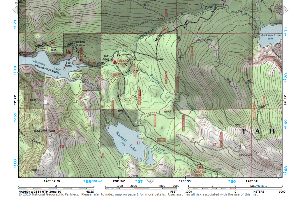
National Geographic has built an easy to use web interface that allows anyone to quickly find any quad in the country for downloading and printing. Yes, completely FREE! Each quad has been pre-processed to print on a standard home, letter size printer. These are the same quads that were printed by USGS for decades on giant bus-sized pressed but are now available in multi-page PDFs that can be printed just about anywhere. They are pre-packaged using the standard 7.5 minute, 1:24,000 base but with some twists:
Page 1 is an overview map showing the Quad in context
Pages 2 through 5 are the standard USGS Quads cut in quarters to fit on standard printers
Hillshading has been added to each page of the PDF to help visualize the topographyZoom into the area you wish a map, then click on the red dot. Then save that pdf to your computer and print as needed.
Just CLICK HERE to access this portal:
<http://www.natgeomaps.com/trail-maps/pdf-quads>
 RSS Feed