MOTHER LODE TRAILS
  • Home
  • About
  • Contact
  • Volunteer
  • Links
    • Law Enforcement Emergency
    • Federal, State, County Districts Parks & Trails
    • Running Clubs
    • Equestrian Clubs
    • Mt. Bike Clubs
    • Hiking Clubs
    • Trail Advocacy Organizations
    • Phone Numbers State & Federal Parks, Trails & Lands
    • Lost & Found on the Trails
    • Where to Eat on the Trails
  • News
  • Alerts

Hidden Falls expansion approved by Placer CO Planning Commission 5-1

1/29/2021

 
Picture
Special thanks to the Gold Country Trails Council (GCTC) Hidden Falls Liaison Jeff Foltz who sent us this note:

UPDATE ON HIDDEN FALLS - PLANNING COMMISSION RECOMMENDS EXPANSION
After a 5-hour long meeting the Placer County Planning Commission recommended to the Placer County Board of Supervisors Approval of the supplemental environmental impact report for Hidden Falls expansion and the conditional use permit, establishing the rules and regulations to develop the park over the next 10 years. 

The Commission voted 5 yes on the SEIR and 1 abstention and voted 5 YES on the conditional use permit and one No. 

If approved by the Board of Supervisors, the first phase would be the construction of the Twilight ride parking area off of Bell road, with automobile parking and 10 horse trailer spaces this would open up 2,500 acres and 30 miles of trails all the way to the Bear River. (Nevada/Placer County line)

The County received a $3 million grant from the State to go towards building the parking if the project is approved. 

Want to thank everyone who sent emails or letters to the Planning Commission. The Public process can be long and arduous.  Perseverance pays off. 


===========
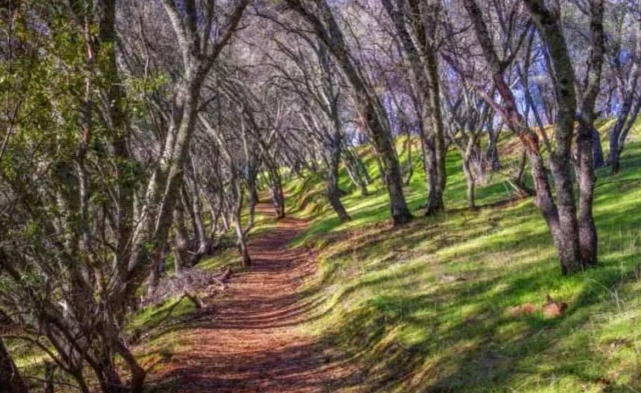
Mother Lode Trails supports this expansion of Hidden Falls Regional Park which will provide thousands of acres of protected open space and miles of public trails for our citizens.


Mountain lion shot after stalking family on paved trail east of Placerville

1/14/2021

 
Picture
A mountain lion was fatally shot by a sheriff’s deputy after the animal followed a family on a recreational trail east of Placerville.
The couple called 911 on Monday afternoon to report that the lion had been following them for about 10 minutes on the paved portion of the El Dorado Trail. They had two children in a stroller and two large dogs.
The lion did not retreat when yelled at by trail users.
A deputy who responded to the call also yelled at the lion, with no effect. The animal “started walking toward the deputy instead of running away as a normal healthy mountain lion would,” said a report from the El Dorado County sheriff’s office.
The deputy fired a warning shot into the ground and, when the animal kept approaching, shot it from 10 to 15 yards away.
The lion’s body was taken by California wildlife officials for further study.
Mountain lions rarely attack humans. There have been seven fatal attacks in the United States since 1994. The only one in Northern California was on a trail near Auburn about 20 miles from the site of Monday’s incident.
Two 6-year-old children were scratched and bitten in attacks on South Bay trails — last year at Rancho San Antonio and in 2014 at Picchetti Ranch. The animals in those cases, both around 70 pounds, were captured and killed.

CLICK HERE to see the original article in the Mercury News


Western States: Cal Loop access from Mosquito Ridge Road is not accessible

1/12/2021

 
Picture
​Western States Trail Update from Nicole Wertz:

Cal Loop Trail access from Mosquito Ridge Road down. trail is currently NOT accessible for equestrians for the first 2 miles of trail. There have been many unauthorized trail users (motorcycles and mountain bikes and night bike riding) that have caused the private landowners to put up their own barricades.

Please be patient and avoid this area while the WS Trails Team meets with landowners and determines where to place barricades and signage to discourage unapproved user groups and allow hooves and feet only.


CLICK HERE to see original post.

CLICK HERE for a MAP of the Cal Loop trail.

DANGEROUS hole on Pioneer Express Trail

1/10/2021

 
Picture
Posted from the Folsom Lake SRA Mounted Trail Patrol today:
There are a pair of culverts between Mile Markers 45 and 45.5. The south culvert appears to be blocked and water is undermining the trail to the point where there is a hole about 2 ft deep next to the culvert. Perfect spot for a horse or runner to get a leg caught. Stacked logs across it. Reported it to maintenance.

GPS 38.822832, -121.106540
Picture

Sterling Pointe Equestrian Staging improvements and tree work through January 18

1/9/2021

 
Picture
Placer County Parks will be working at Sterling Pointe staging area for 7 to 10 days doing improvements (January 7 - 18). One county work truck will be working in staging area and two tree service trucks will be working and chipping in the upper lot.
​
Please keep clear of the areas they are working in. There is plenty of parking left over for the horse rigs.

Updates will be posted on the Sterling Pointe Equestrian Staging Area Facebook page:
https://www.facebook.com/groups/211401406095943

​

USFS Extends Developed Campground Closures on Eldorado, Tahoe National Forests, and Lake Tahoe Basin Management Unit

1/8/2021

 
Picture
January 7, 2021 – USDA Forest Service Pacific Southwest Region has decided to extend the developed campground closure on 12 National Forests in California to provide consistent COVID-19 mitigation response in accordance with Gov. Gavin Newsom’s Stay-at-Home Orders.

These Regional Orders will be in effect through January 29, 2021.

The closed campgrounds on National Forests are in California’s Greater Sacramento, Southern, and San Joaquin zones, including Angeles NF, Cleveland NF, Eldorado NF, Inyo NF, Los Padres NF, Lake Tahoe Basin Management Unit, Plumas NF, San Bernardino NF, Sequoia NF, Sierra NF, Stanislaus NF, and the Tahoe NF. Day use of National Forests will remain open for the health and welfare of Californians. We urge all visitors to follow CDC guidelines to recreate responsibly and check with your local National Forests before visiting.

“This order extension will protect visitors and our employees by reducing exposure to COVID-19 and mitigating the further burden on limited healthcare facilities,” said Randy Moore, Regional Forester of the USDA Forest Service’s Pacific Southwest Region.

New connector trail to Darrington Trail finished by ARC and bike groups

1/6/2021

 
Picture
Recreational trail enthusiasts in El Dorado County recently got a brand-new addition. A connecting recreational trail for hikers and bikers opened Dec. 1 from the Acorn Creek Trailhead to the Darrington Trail in Pilot Hill. The new connecting trail stretches approximately 1.5 miles and features two additional, 1-mile supplemental trails (out and back for the time being). In total, roughly 4 miles of hiking and biking trails were opened at the Salmon Falls Ranch location. The main trail also connects the 1-mile Acorn Creek trail and 7-mile Darrington trail, which both connect to the 7-mile long South Fork American River Trail that ends at Cronan Ranch.
​

American River Conservancy officials closely collaborated with Folsom/Auburn Trail Riders Action Coalition and volunteers at REI in Folsom on the project. More than 75 volunteers from all the organizations worked together this past year to complete the trail system.

Another bike trail in the works:
A future trail project is a 13.5-mile dirt trail in the Crystal Basin that SMUD is building for the USFS that will wrap around the entire south shoreline of Ice House Reservoir. The trail, funded entirely by SMUD, is being designed by International Mountain Bicycling Association (IMBA) Trail Solutions team and the draft design is currently under review. Construction is planned to begin in 2022. Go here to see more about SMUD Crystal Basin recreation area.


Dillon Brooks, the stewardship manager at the ARC, said the new trail system is referred to as the Salmon Falls Ranch Connector Trail and it, along with other trails built off it, are great for the community.
“This new stretch provides a safe connection from the South Fork American River Trail to Folsom State Recreation Area,” said Brooks. “It eases congestion and parking concerns at the Skunk Hollow and Darrington parking lots. This connection bypasses a dangerous section of the Darrington Trail, making it safe and more family friendly to users.
“Our biggest challenge in creating new trails is always fundraising because other agencies like the U.S. Forest Service, State Parks or Bureau of Land Management don’t always have the resources to provide the labor,” he continued.
The new Pilot Hill trails, though connecting to public lands managed by California State Parks through a contract with the Bureau of Land Management, were built on Salmon Falls Ranch, which is owned by ARC —  purchased from the Bacchi family through two grants in 2010 and 2011.
Brooks said BLM, USFS and California State Parks have always been great to work with in protecting open spaces and creating recreation opportunities in the area. “The trails like this one, because they connect to public lands, require approvals on things like environmental impacts,” he said.
The new recreational trails that opened Dec. 1 are much closer to populated areas like El Dorado Hills, Cameron Park. 
“They provide a way for people to remain active and healthy, while gaining a better appreciation for the environment. These are also benefits to the county,” he explained. “Outdoor recreation is also big business so the more opportunities you provide for outdoor recreation, the more people will travel from outside of the area to use the county’s recreation assets, which benefits local businesses and the county economy in general.”

“The El Dorado Community Foundation also pledged $10,000 and the Latrobe Fund gave us a matching grant of $10,000. .
In the future new trails are being planned by ARC programs. Members will also work with the El Dorado Hills Community Services District on plans for a bike park and plan to host or participate in several local events next year, including a bike demo day with California Expedition and the USFS on the trails outside Georgetown.
 

To learn more about the American River Conservancy visit arconservancy.org. 
GO HERE to read the complete article about this trail in the Mt. Democrat newspaper.

​

    Archives

    January 2023
    December 2022
    November 2022
    October 2022
    September 2022
    August 2022
    July 2022
    June 2022
    May 2022
    April 2022
    March 2022
    February 2022
    January 2022
    December 2021
    November 2021
    October 2021
    September 2021
    August 2021
    July 2021
    June 2021
    May 2021
    April 2021
    March 2021
    February 2021
    January 2021
    December 2020
    November 2020
    October 2020
    September 2020
    August 2020
    July 2020
    June 2020
    May 2020
    April 2020
    March 2020
    February 2020
    January 2020
    December 2019
    November 2019
    October 2019
    September 2019
    August 2019
    July 2019
    June 2019
    May 2019
    April 2019
    March 2019
    February 2019
    January 2019
    December 2018
    November 2018
    October 2018
    September 2018
    August 2018
    July 2018
    June 2018
    May 2018
    April 2018
    March 2018
    February 2018
    January 2018
    December 2017
    November 2017
    October 2017
    September 2017
    August 2017
    July 2017
    June 2017
    May 2017
    April 2017
    March 2017
    February 2017
    January 2017
    December 2016
    November 2016
    October 2016
    September 2016
    August 2016
    July 2016
    June 2016
    May 2016
    April 2016
    March 2016
    February 2016
    January 2016
    December 2015
    November 2015
    October 2015
    September 2015
    August 2015
    July 2015

    Categories

    All

    RSS Feed

Home
Contact
 Mother Lode Trails is YOUR local volunteer-run trail information and resource website. Here you can find
up-to-the minute information on trail alerts, links and trail news for Placer,  Yuba, and Nevada counties.
Mother Lode Trails is trademarked.